We make the ocean transparent —
for biodiversity, security, and science. Cosma observes, maps and monitors the seabed to deliver open, neutral and affordable data at global scale.
OUR TECHNOLOGY
From underwater operations to actionable data
Cosma combines data acquisition by underwater drones with AI powered interpretation.
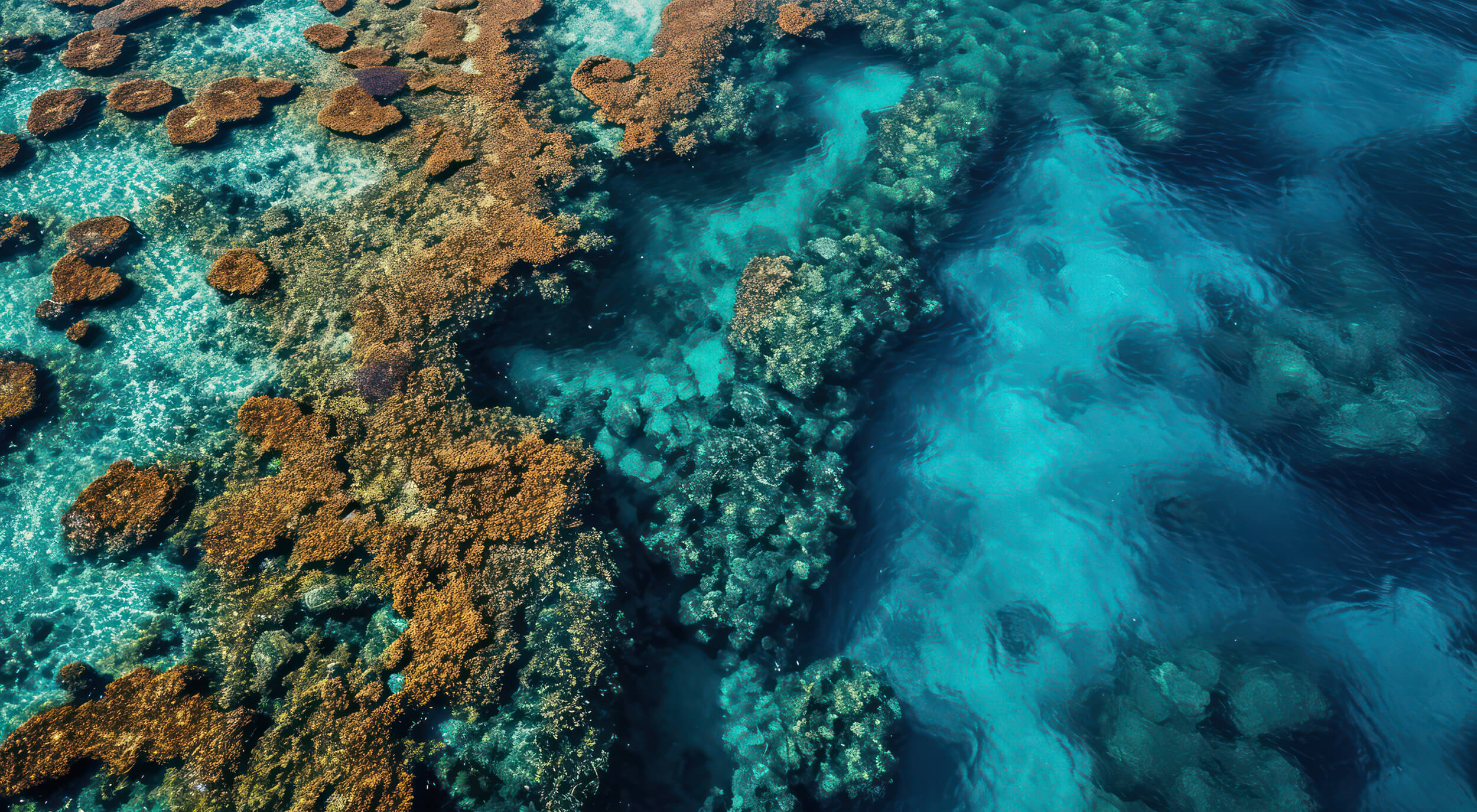
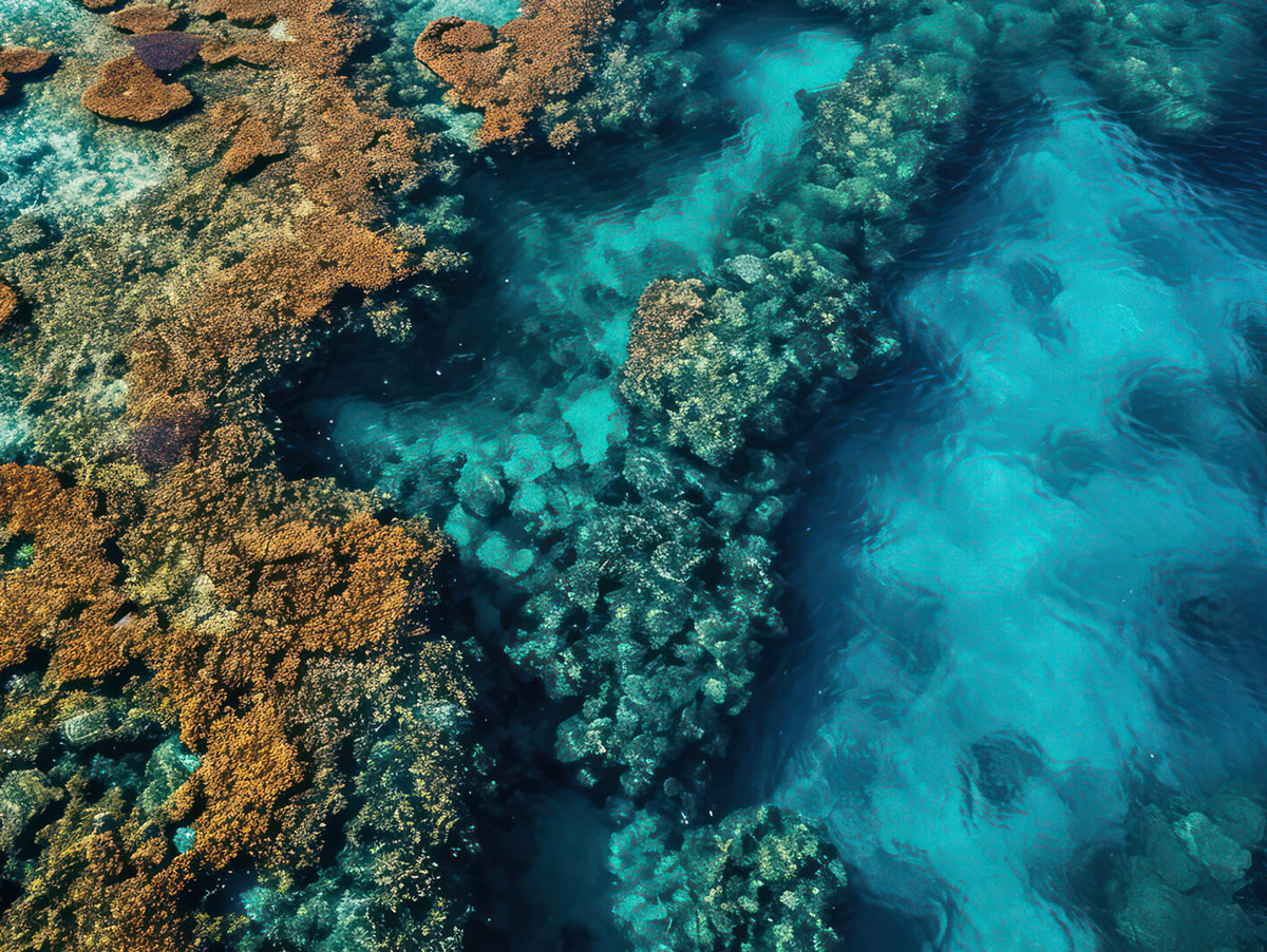
At sea operations
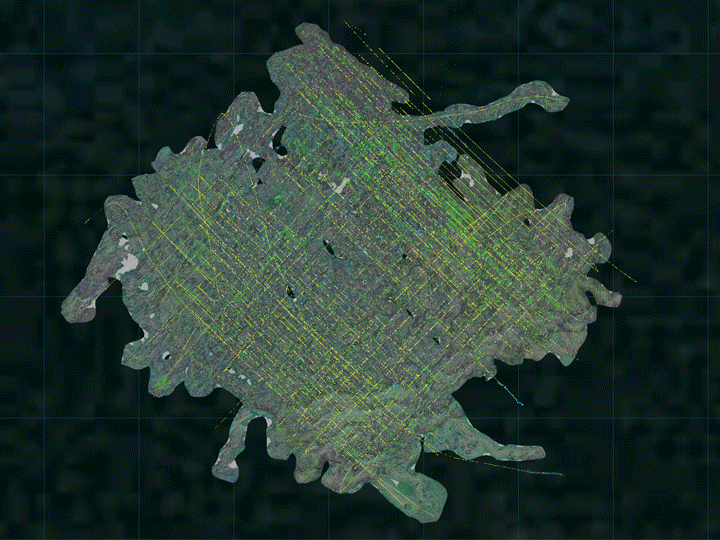
Cosma designs and operates swarm of autonomous underwater drones, the world’s lightest and most affordable detailed seabed survey solution. Operating just a few meters above the ocean floor, we capture optical and acoustic data down to 200 m depth, from few hectares nearshore to several km2 offshore.
Cosma AI cloud platform
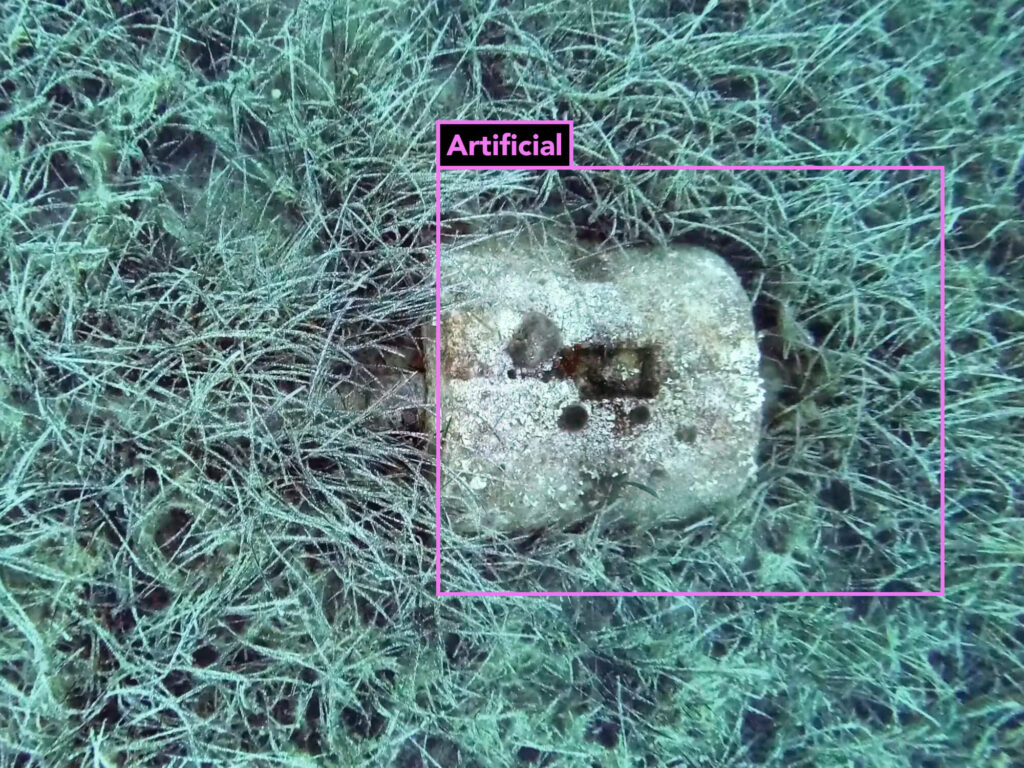
Once raw data reaches the shore, our scalable workflow creates a living map of the seabed.Through AI-driven reconstruction and interpretation, Cosma provides transparent and actionnable seabed intelligence.
At the core of Cosma’s technology lies large-scale underwater computer vision.
OUR OFFER
The ultimate ocean insights for subsea projects
Our time-saving survey services provide the most comprehensive data set and enhanced monitoring capabilities. Discover the potential of benthic inventory and monitoring.
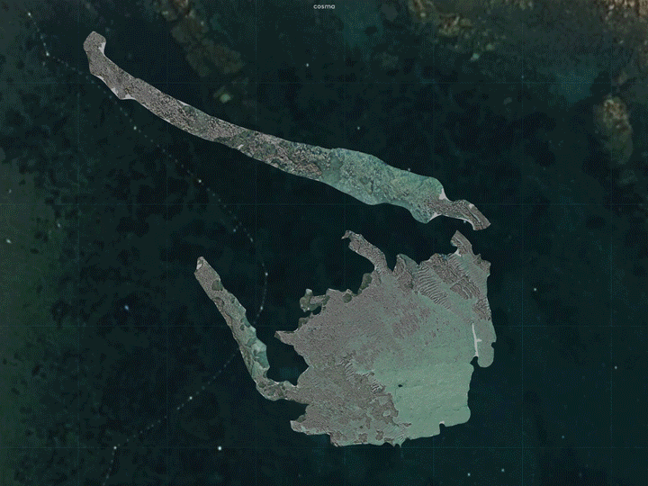
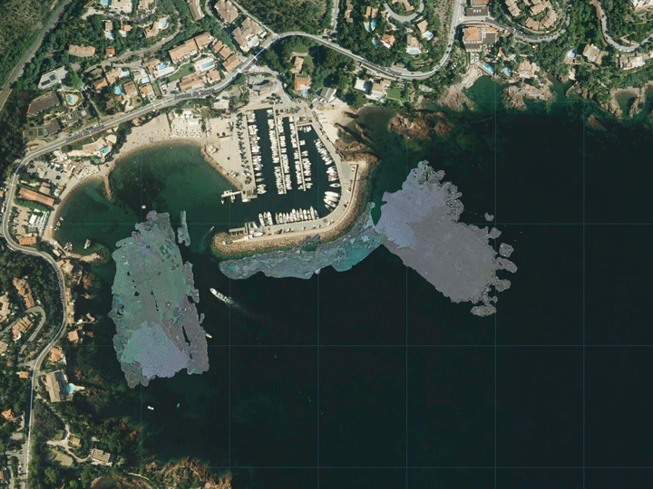
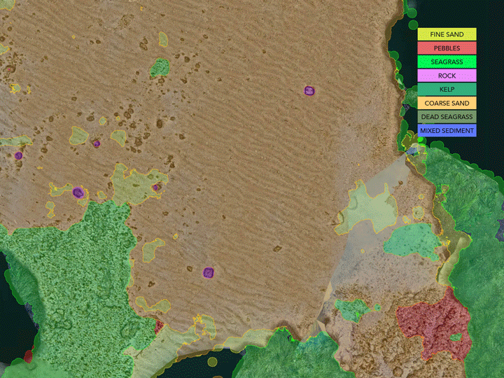
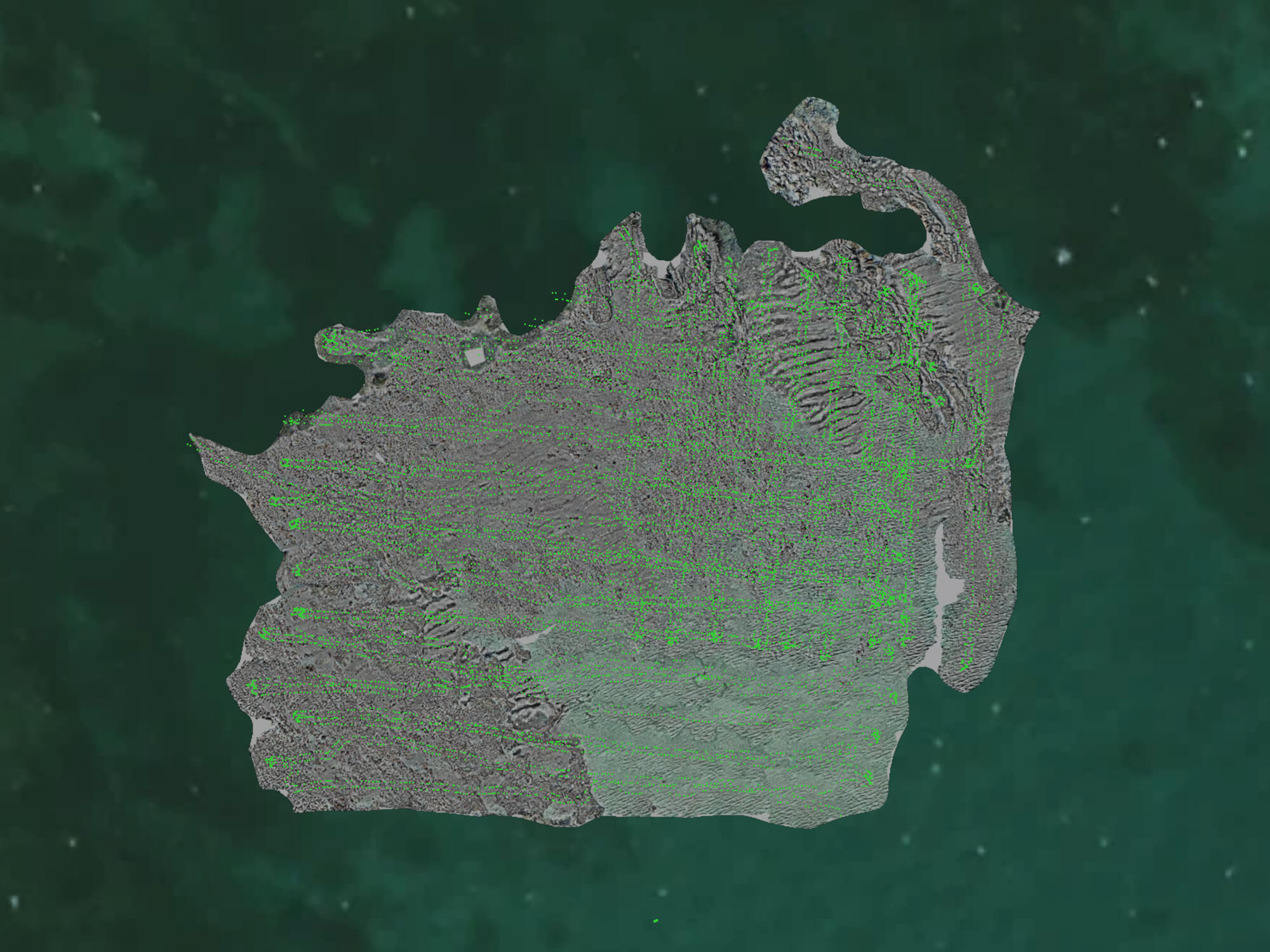
Photographic Seabed Model (PSM)
The digital twin of the seabed with centimetric positioning and HD pictures, produced via photogrammetric reconstruction.
Regulatory reports and detailed maps
Environmental Impact Assessment (EIA), baseline study, monitoring protocols and survey reports in conventional formats (pdf, shp, …)
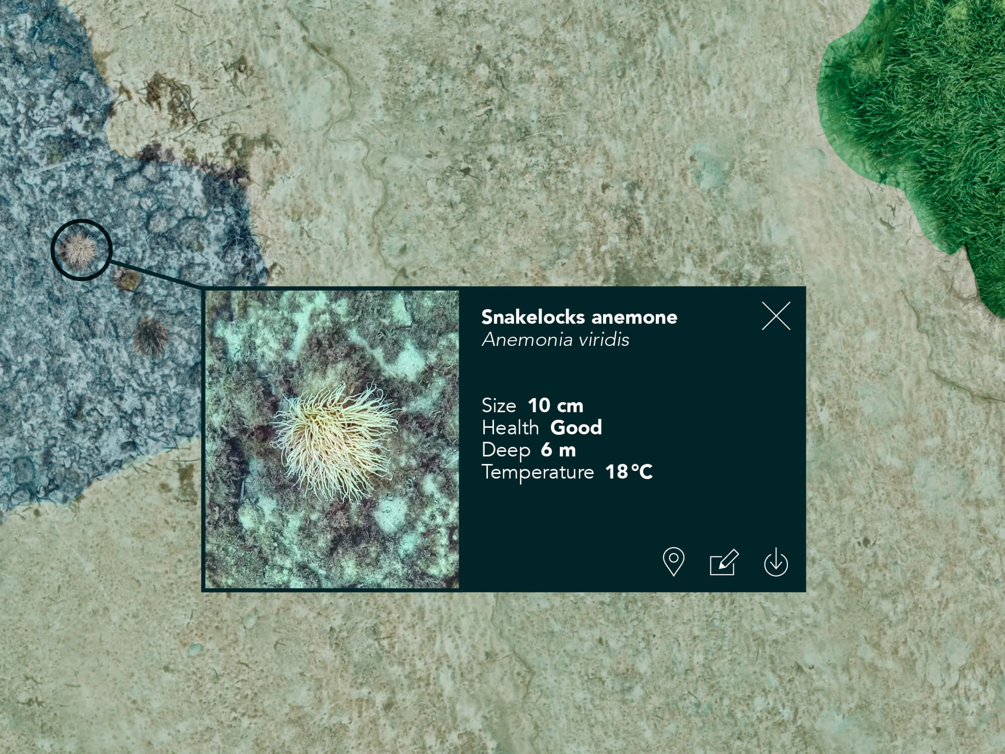
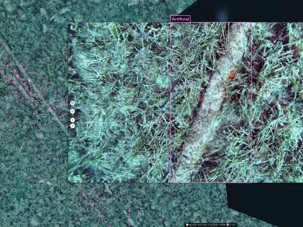
Collaborative interpretation platform
Access to HD pictures, bio-annotation portal & active learning toolbox for advanced analysis and reports
Photographic Seabed Model (PSM)
The digital twin of the seabed with centimetric positioning and HD pictures, produced via photogrammetric reconstruction.
Regulatory reports and detailed maps
Environmental Impact Assessment (EIA), baseline study, monitoring protocols and survey reports in conventional formats (pdf, shp, …)
Collaborative interpretation platform
Access to HD pictures, bio-annotation portal & active learning toolbox for advanced analysis and reports

Reduce
investment risk
Cosma provides
authoritative data

Accelerate
project timeline
Cosma is x10 faster
in report delivery

Repeat and monitor
over time
Cosma detects the smallest timelapse changes

Make informed
decisions
Cosma delivers transparent and actionable data
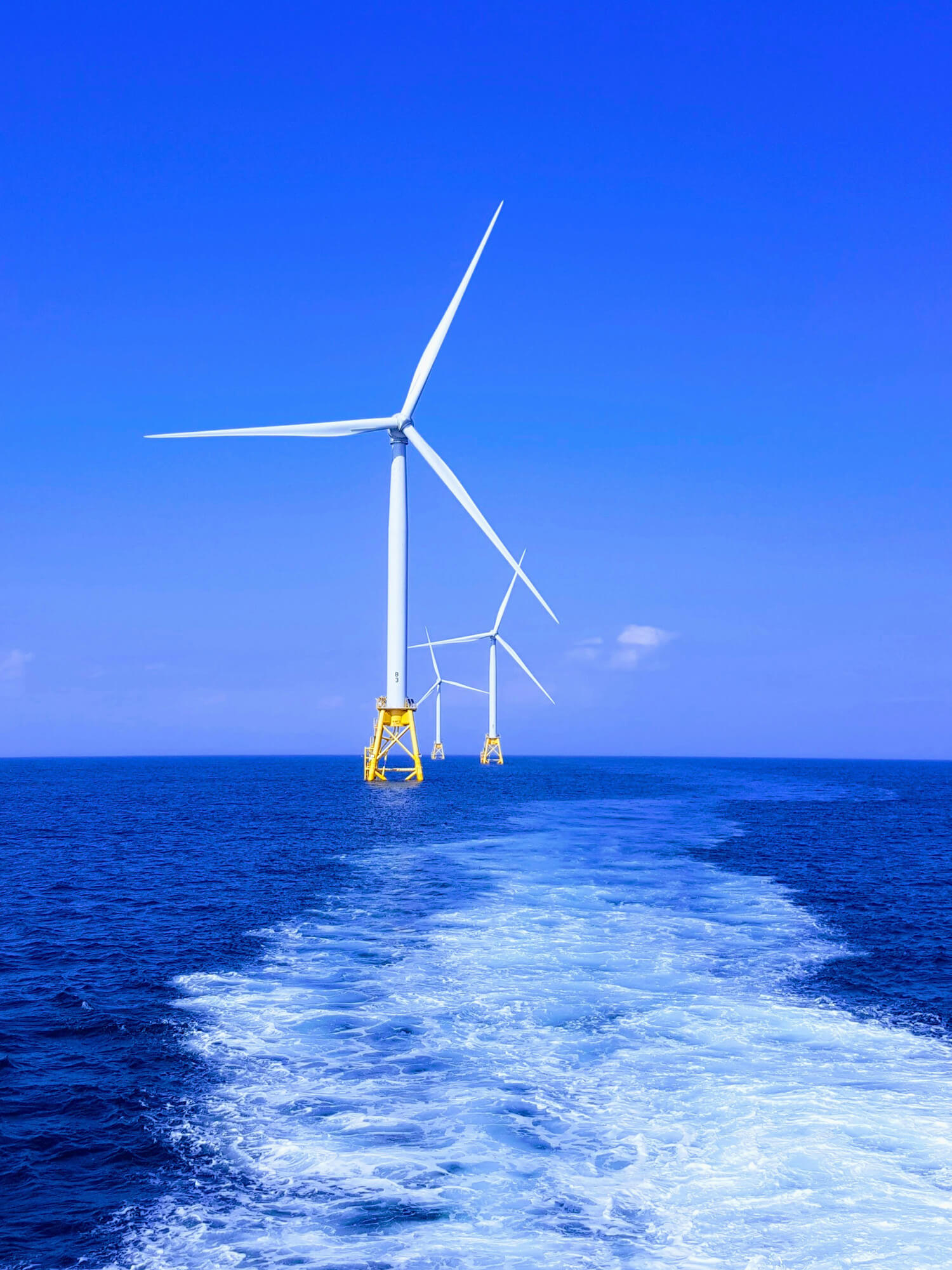
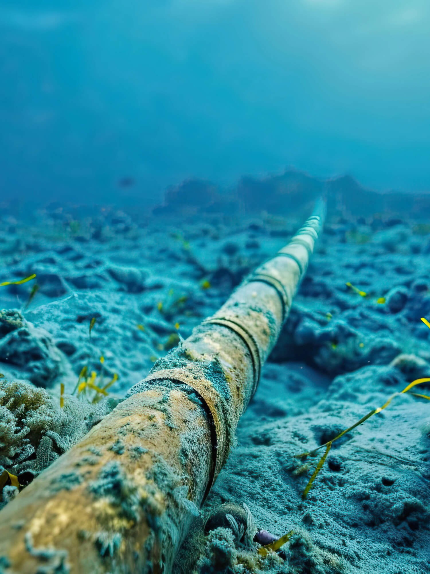
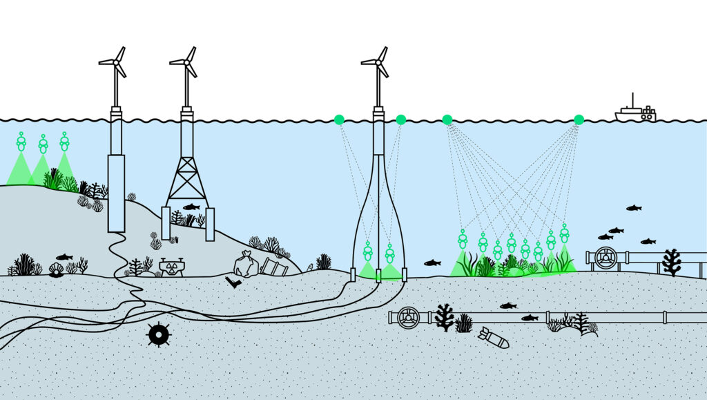
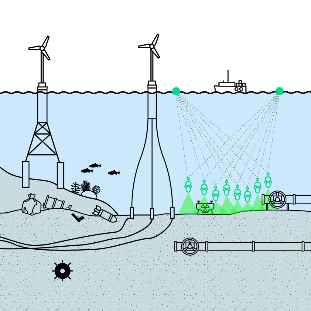
Infrastructure inspection
Pipes, cables and foundation monitoring
Security
UXO mapping and seabed awareness
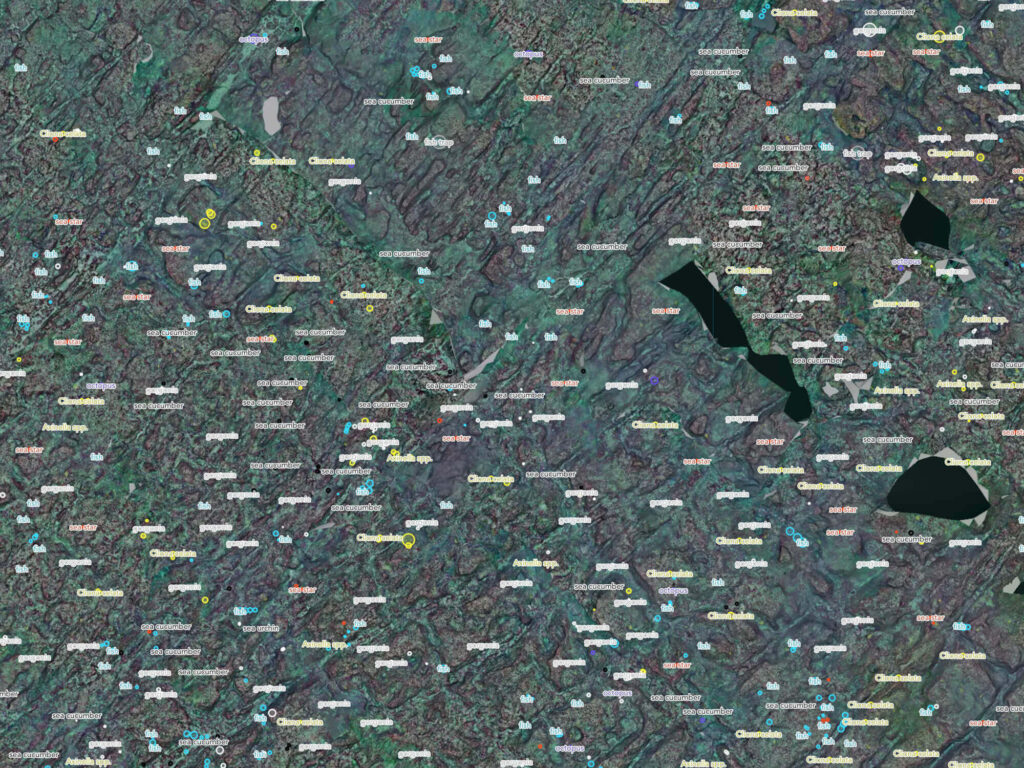
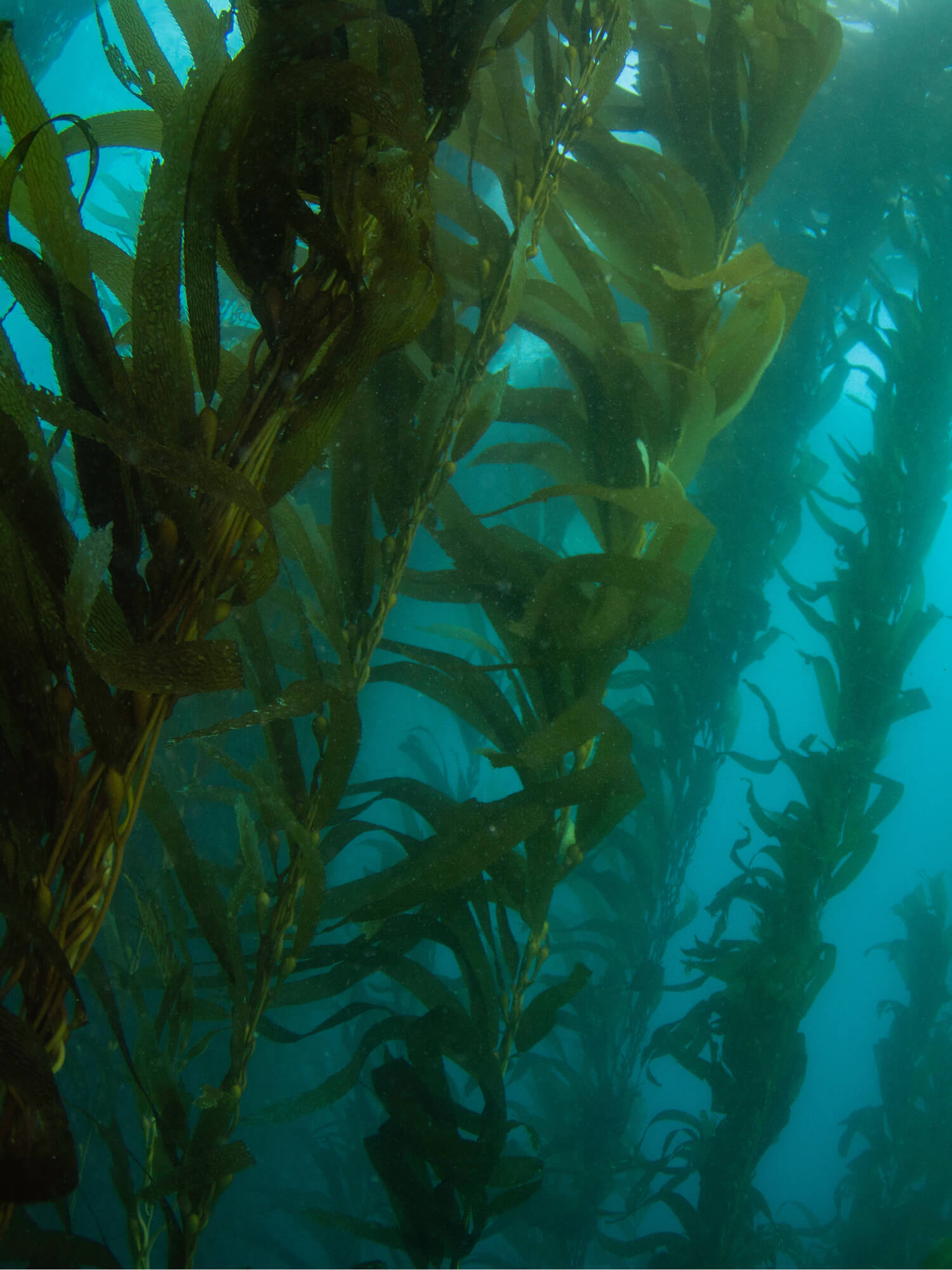
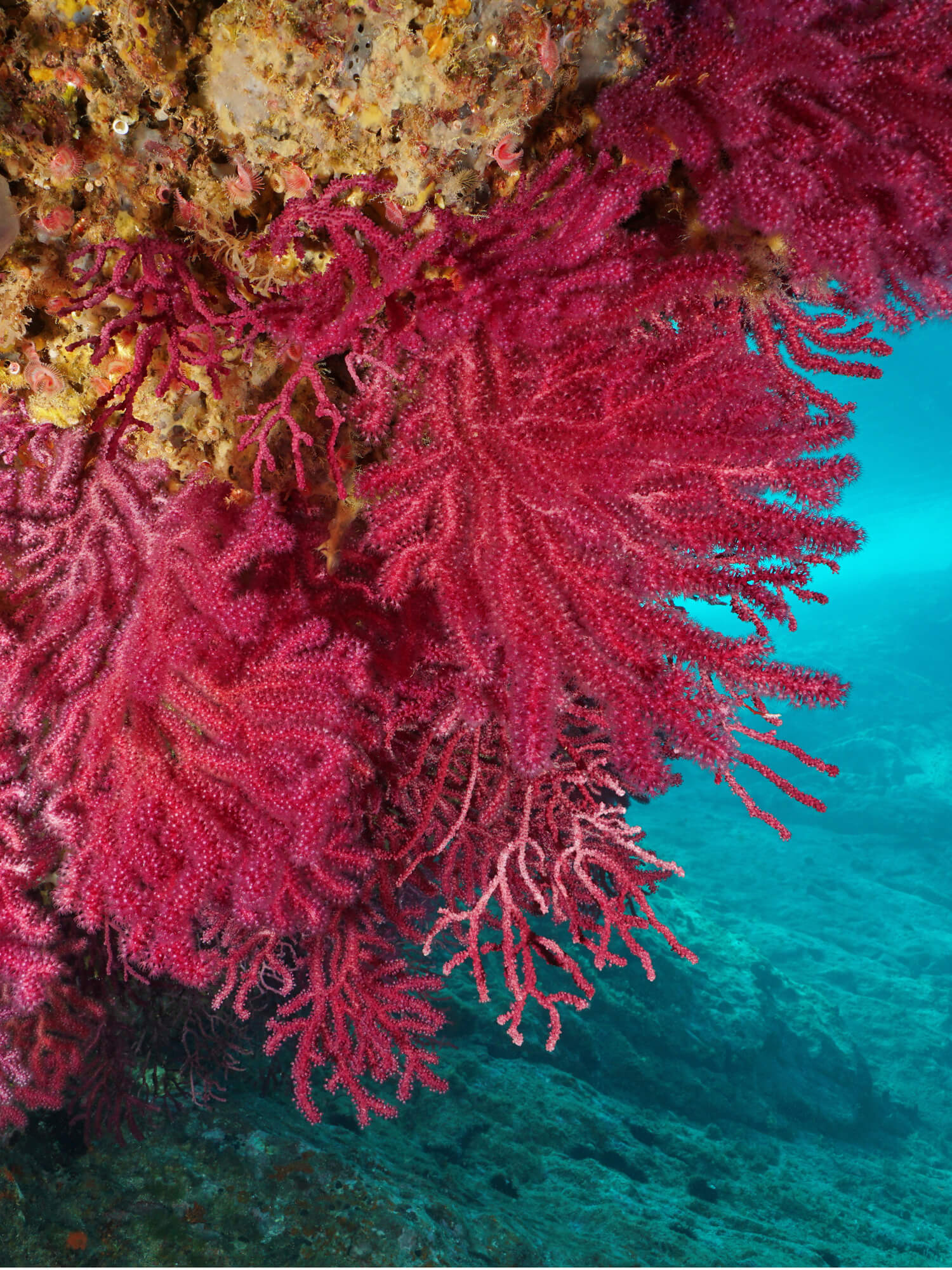
Benthic biodiversity
habitat mapping, quantitative species
inventory
Detailed offshore site survey
archeological research and sub-bottom investigation
CLIENTS
PARTNERS
PARTNERS