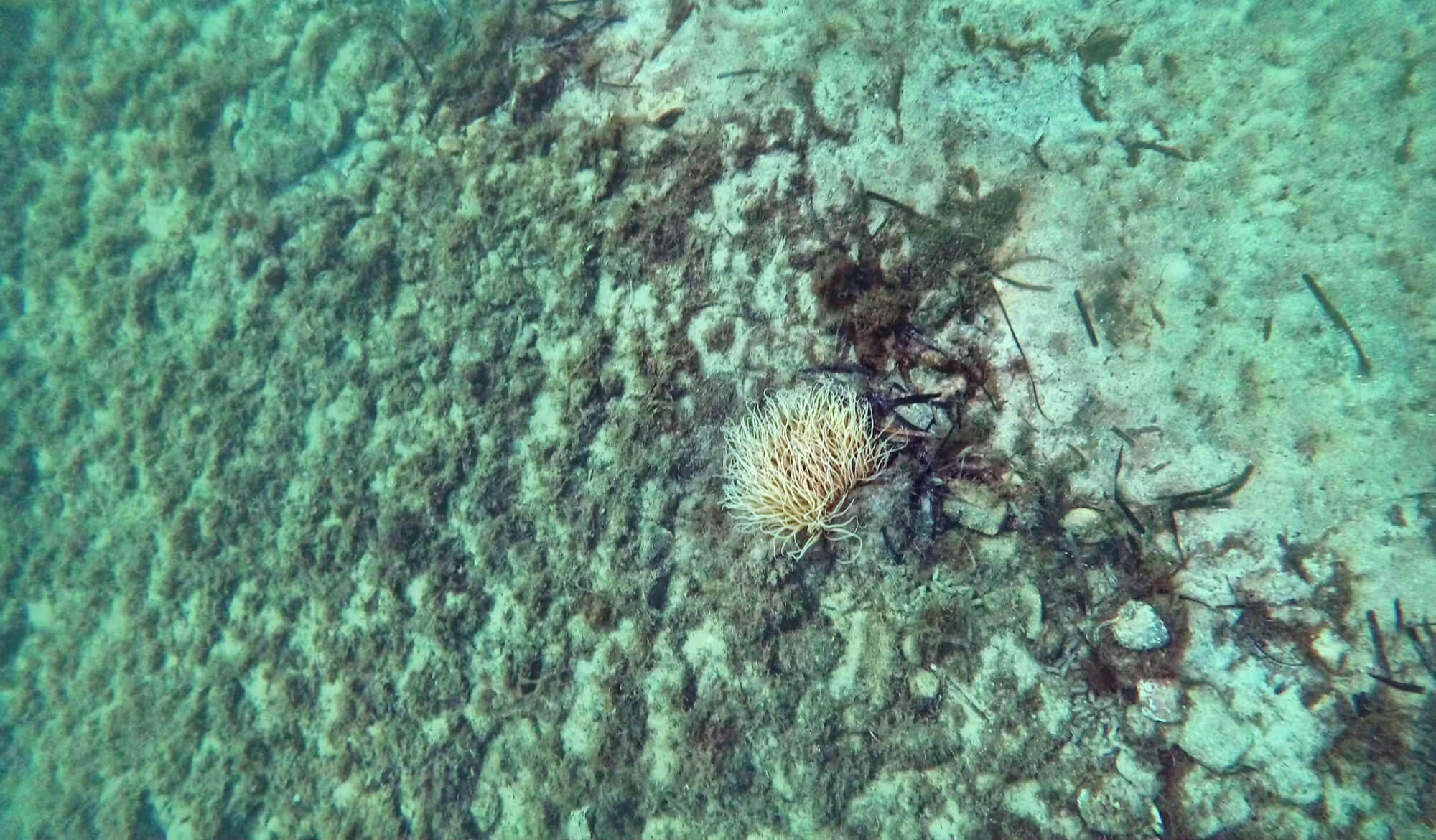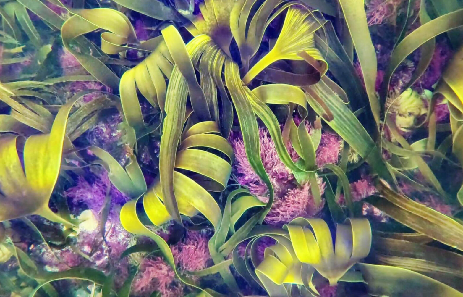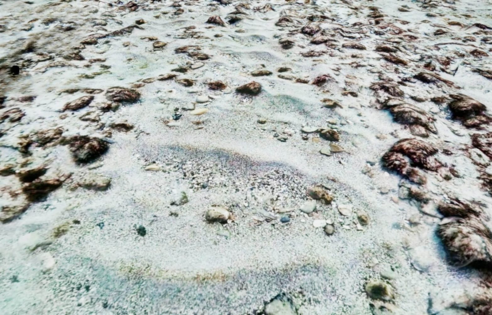

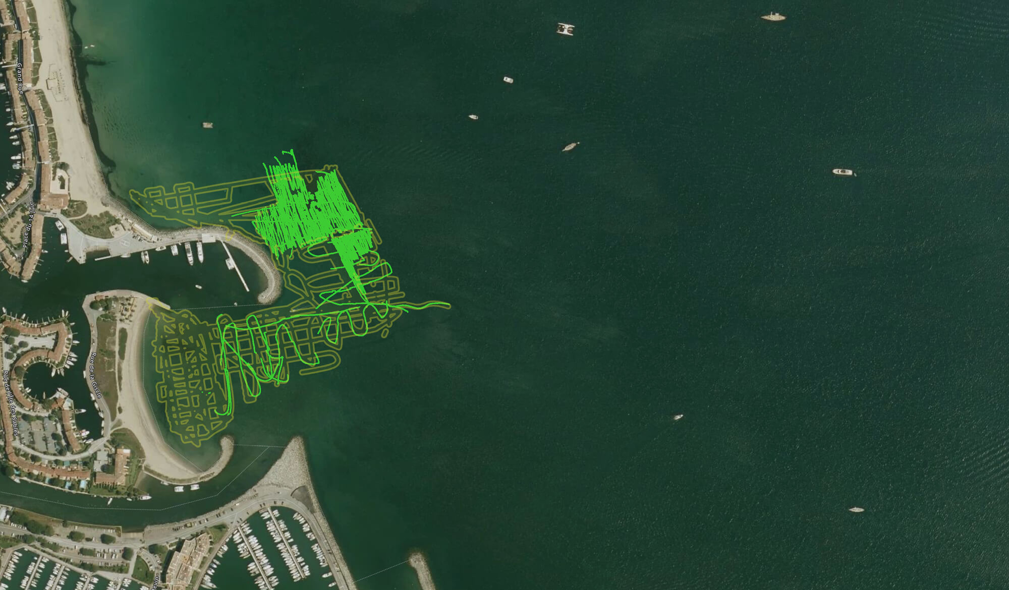
Cosma has been asked by Egis engineering firm to update the biocenosis maps and carry out ground truth pictures, as part of possible civil engineering works in Port Grimaud, south of France. The biocenosis mapping covers a 6.8 ha area.
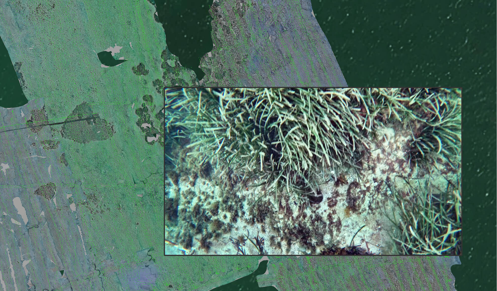
As part of this project, Cosma performed a 2 step protocol: First, an initial sparse mapping was carried out over the entire area (6.5 ha) to get an overall view of the habitats present in the study area. Second, once the areas of interest had been identified (e.g. Posidonia oceanica meadows), a second mapping was carried out to produce a georeferenced photogrammetric reconstruction of the previously identified habitats, the Photographic Seabed Model by Cosma (PSM).
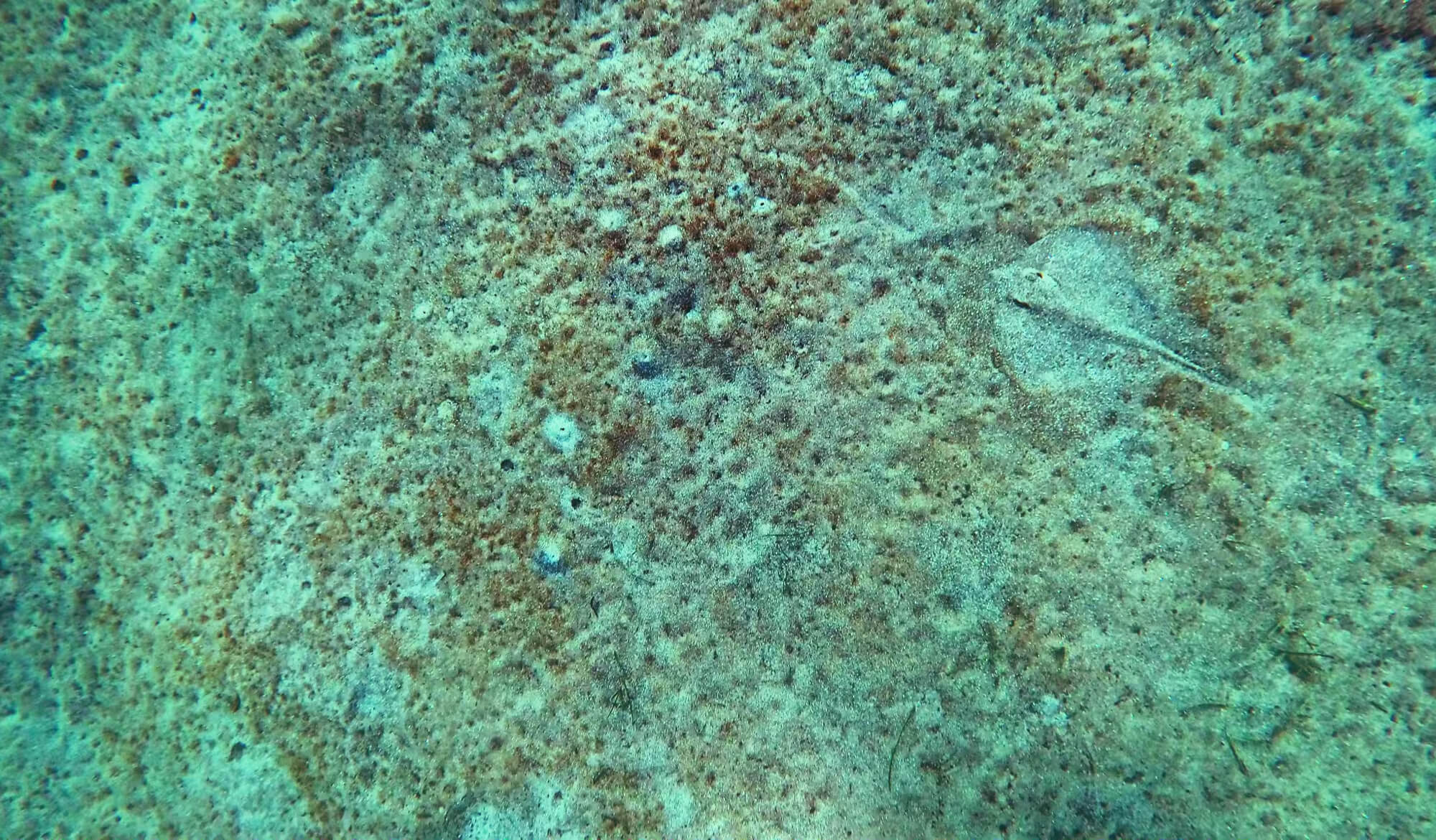
For this mission, COSMA ran a methodology based on the acquisition of continuous, joined and geo-referenced photographic data over the defined study areas. We collected images with underwater drones flying over the seabed at an altitude of 1m50, providing sufficient resolution to identify the benthic species/biocenoses present.
