High-resolution digital inspection of a submarine outfall within Posidonia seagrass meadows
At Île du Levant, Cosma combined sonar, robotics, photogrammetry and AI to inspect a submarine outfall and map nearby Posidonia oceanica habitats at centimetre scale.

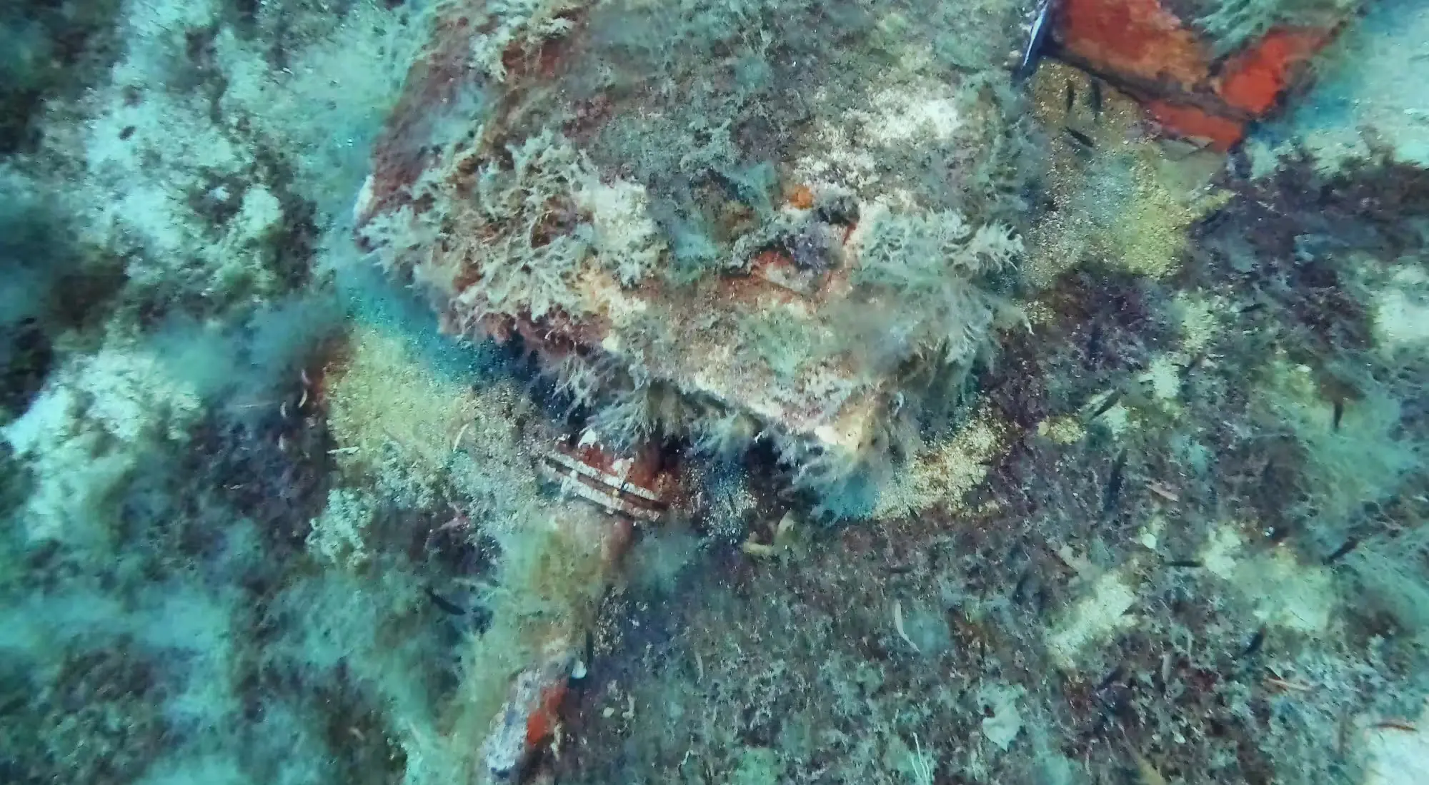
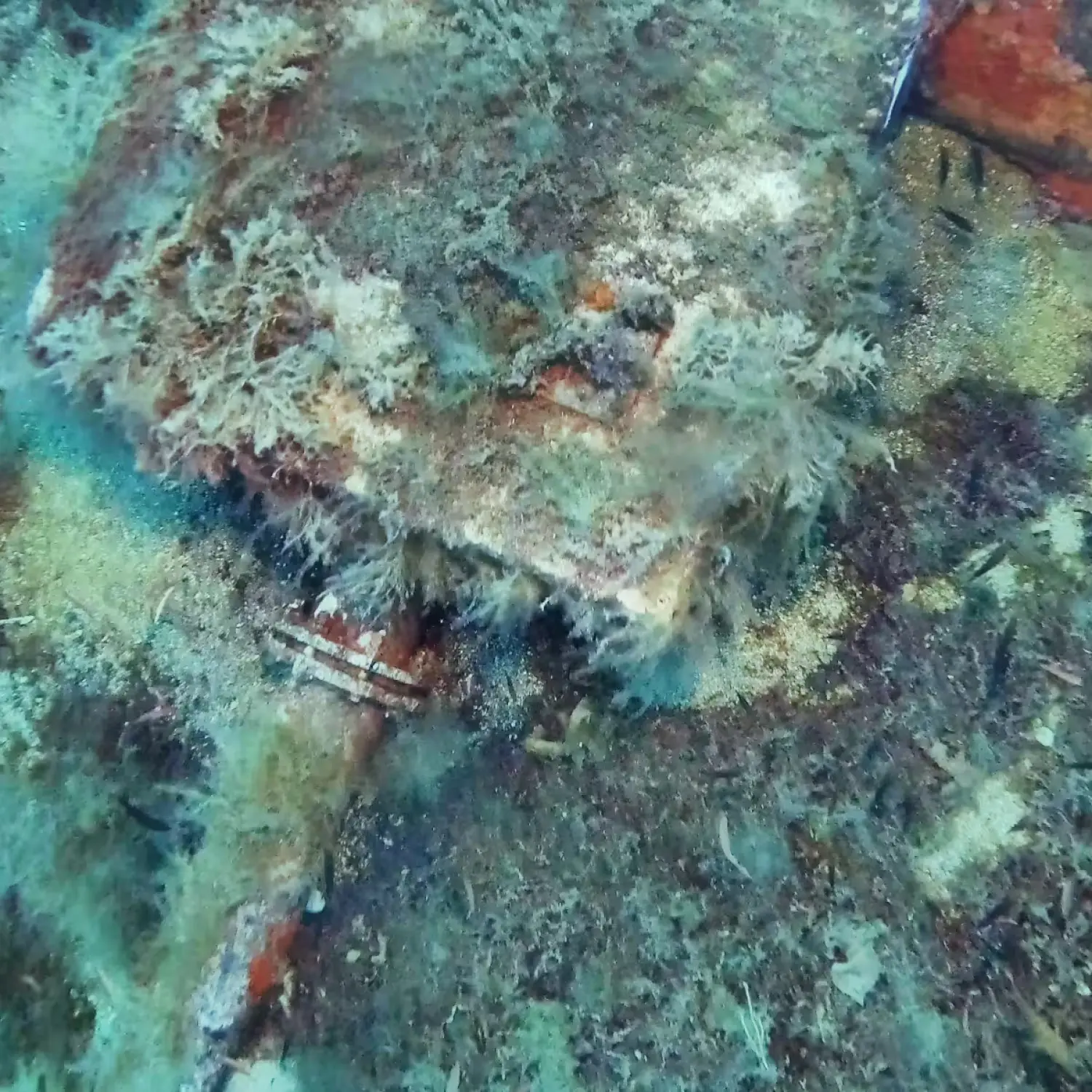
Along the Mediterranean coast of the Île du Levant (France), Cosma carried out a high-resolution inspection of a submarine wastewater outfall to support infrastructure assessment while documenting the surrounding benthic habitats. The project demonstrates how autonomous underwater robotics, photogrammetry and artificial intelligence can simultaneously provide detailed infrastructure inspections and environmental baseline data.
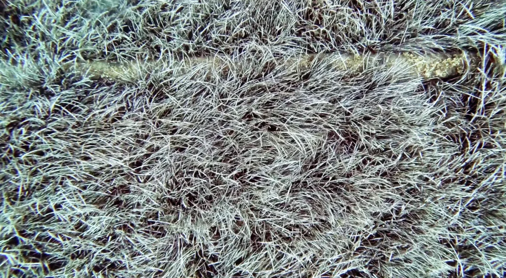
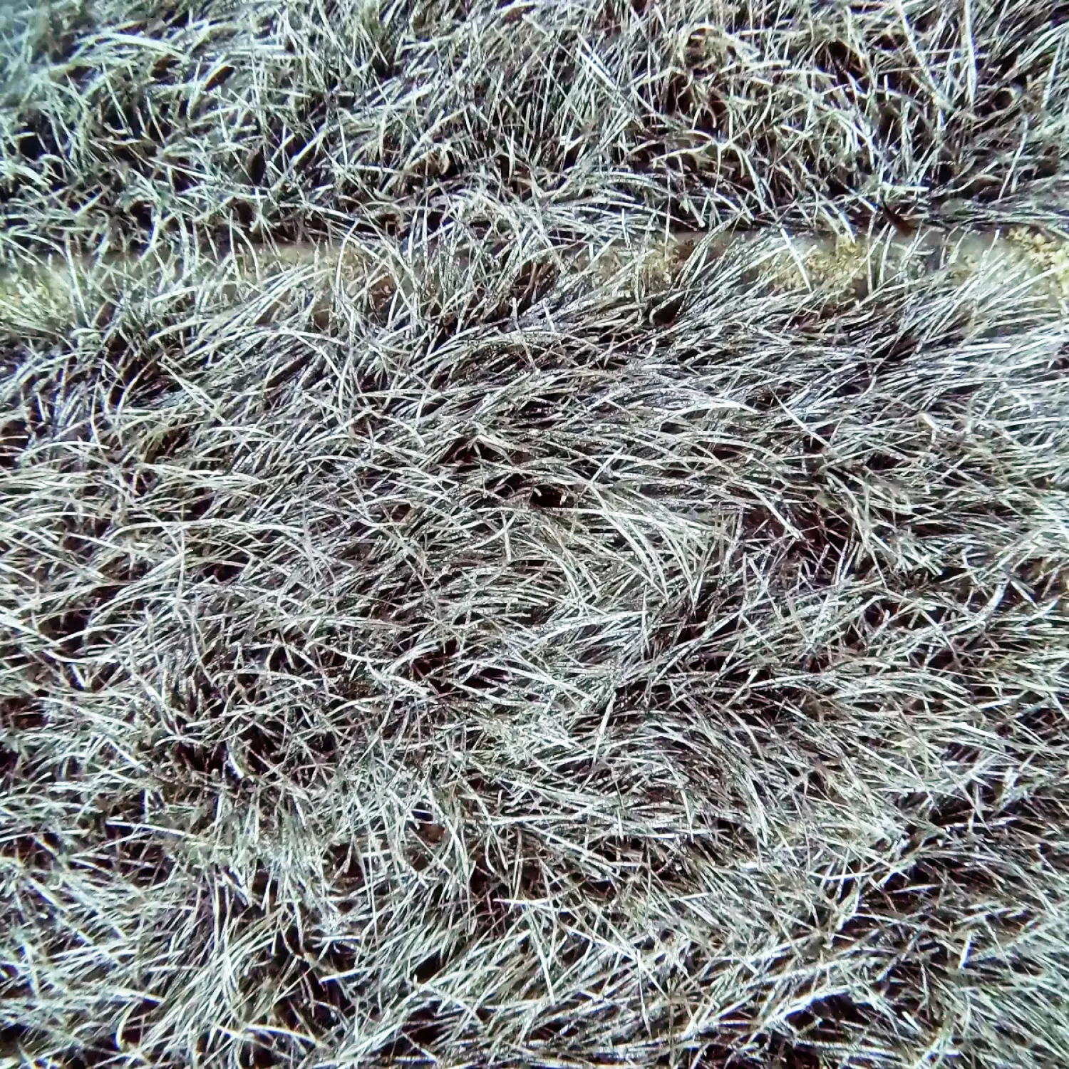
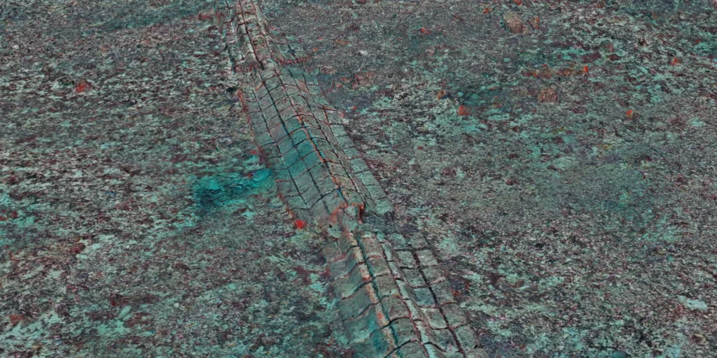
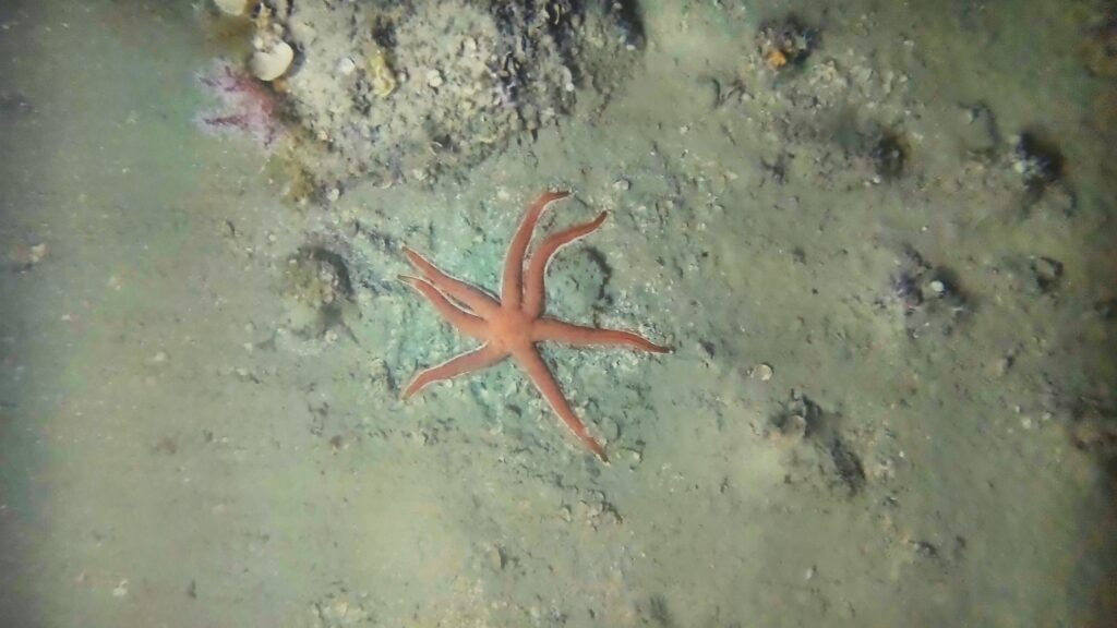
The objective of the project was to generate a continuous, centimetre-scale digital representation of the submarine outfall together with the surrounding seabed, providing both an accurate infrastructure inventory and a detailed environmental assessment.
The survey first relied on high-frequency side-scan sonar to rapidly map the study area and accurately detect and locate the submarine outfall along its entire length. While the sonar provided efficient large-scale coverage and enabled the localisation of the pipeline, it could neither characterise the surrounding benthic habitats nor provide the level of detail required for a visual inspection of the infrastructure.
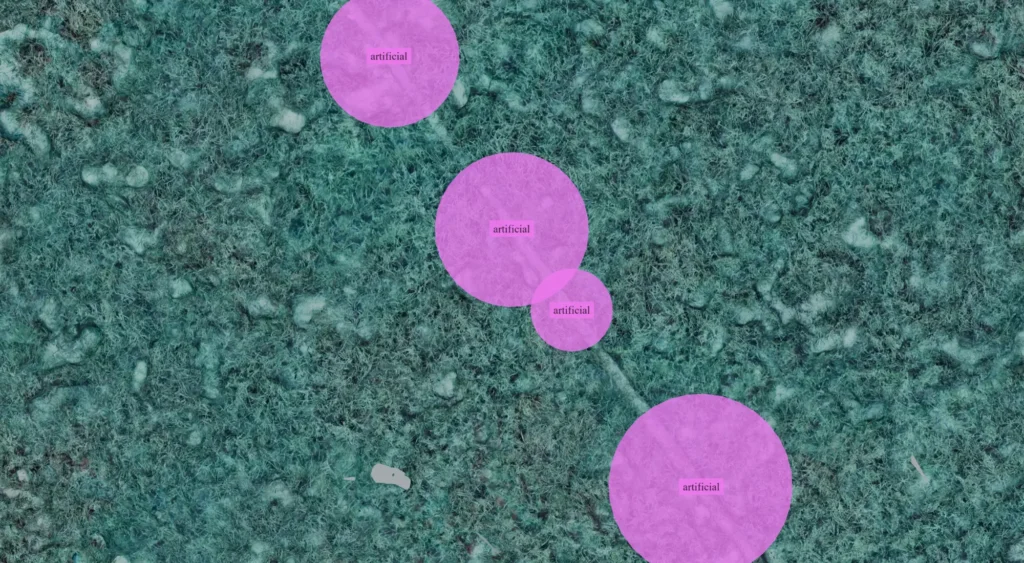
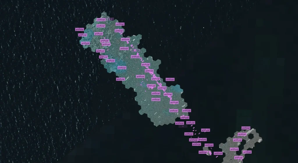
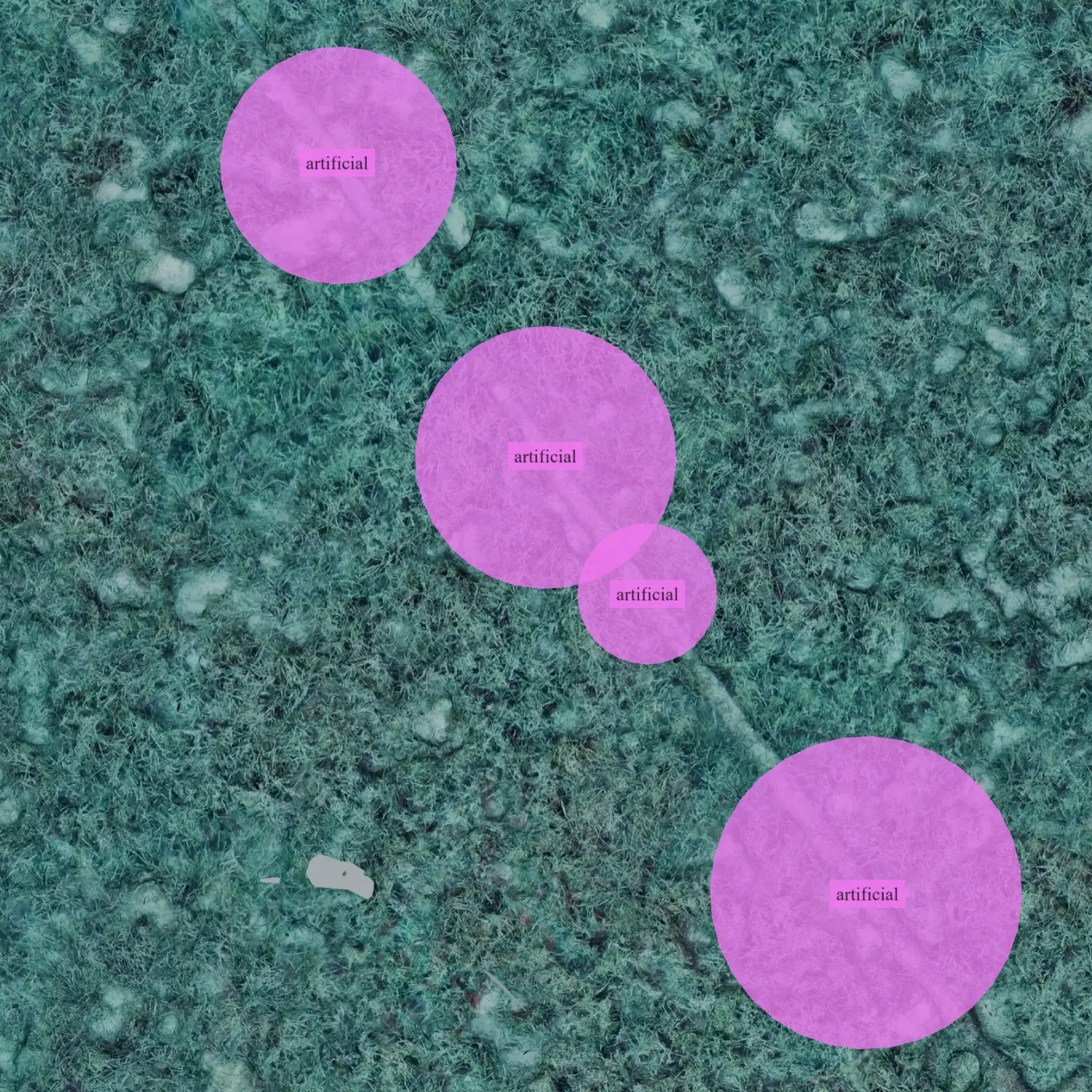
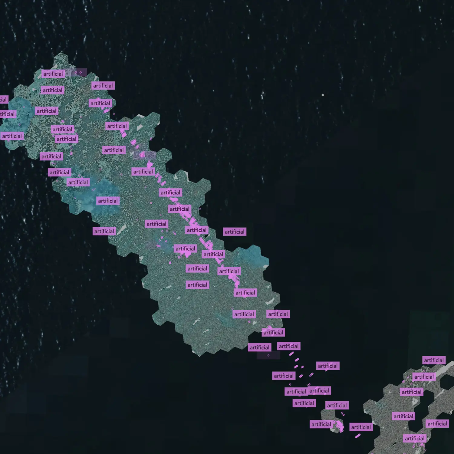
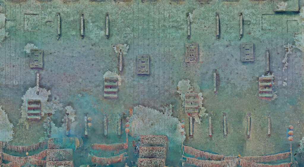
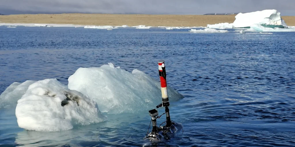
To overcome these limitations, lightweight autonomous underwater vehicles equipped with high-resolution optical sensors were deployed to acquire continuous georeferenced imagery of the pipeline and its surrounding environment. The resulting datasets were processed into centimetre-scale photogrammetric reconstructions, 2D and 3D digital twins, georeferenced ground-truth imagery and an interactive web platform providing direct access to every observation collected during the mission.
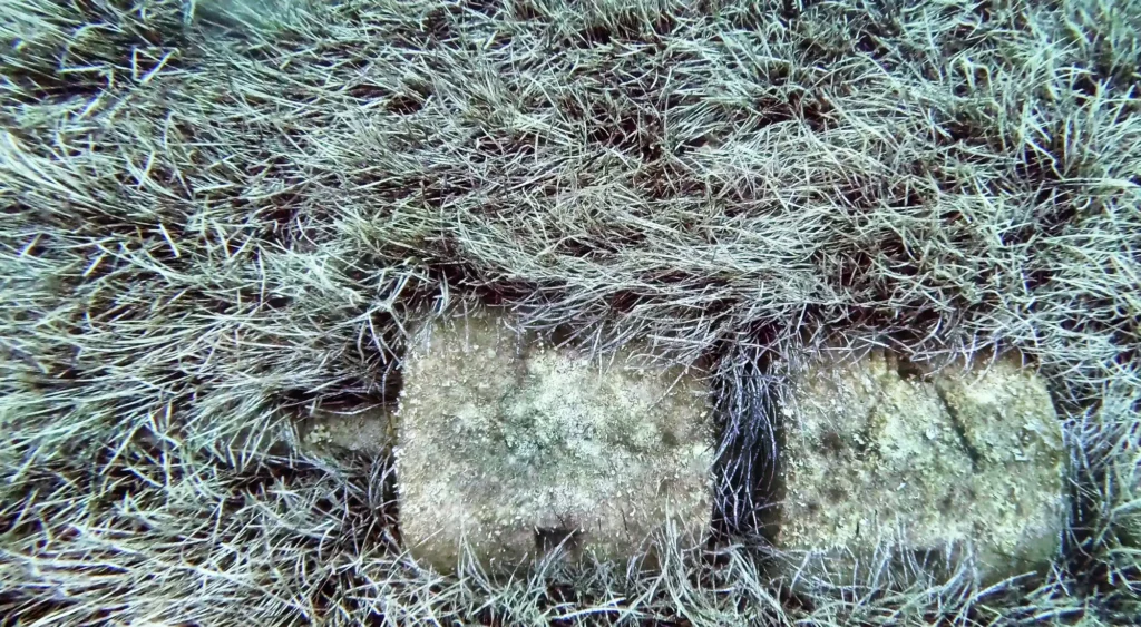
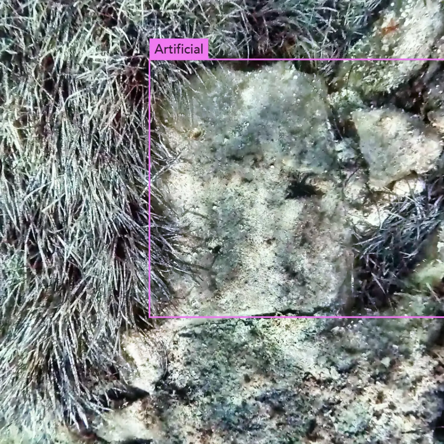
Artificial intelligence was specifically trained to detect artificial underwater structures, automatically identifying the pipeline, joints, supports and other engineering elements. Every detection was subsequently validated by experts, allowing the production of a precise georeferenced inventory of the infrastructure while preserving complete visual traceability.
Beyond environmental and infrastructure assessment, the high-resolution optical baseline provides valuable information for the planned rehabilitation of the outfall. Before internal relining and injection works, the imagery can be used to verify the external integrity of the pipeline and document its condition, providing a precise visual reference for planning the intervention and future comparisons.