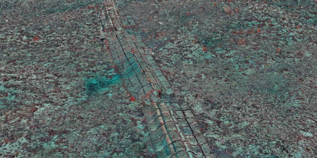
Digital baseline of Monaco’s ecological restoration site and underwater heritage
Across 2.5 hectares, a centimetre-scale record makes it possible to measure infrastructure, track ecological change and revisit the same seabed over time.


Across 2.5 hectares, a centimetre-scale record makes it possible to measure infrastructure, track ecological change and revisit the same seabed over time.
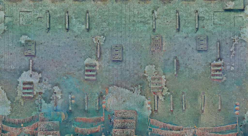
Across 2.5 hectares, centimetre-scale photogrammetry captures benthic habitats, subsea infrastructure and underwater heritage to track change over time.
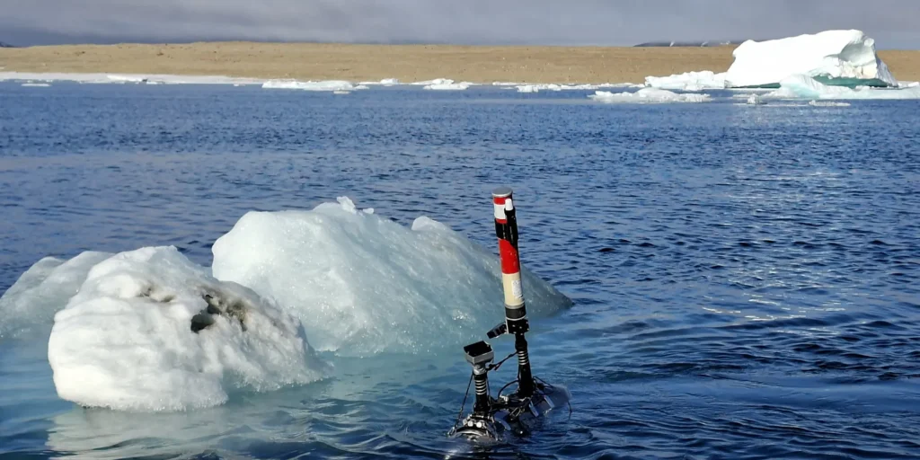
At 83°N, autonomous underwater robots captured centimetre-scale views of coastal ecosystems, creating a repeatable baseline to monitor biodiversity and ecosystem change.
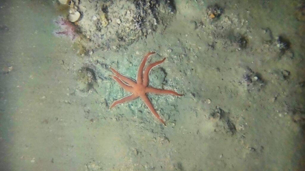
Cosma acquired 380,000 georeferenced images 10–15 nautical miles offshore, at 90–100 m depth, enabling AI-assisted detection of species of interest.

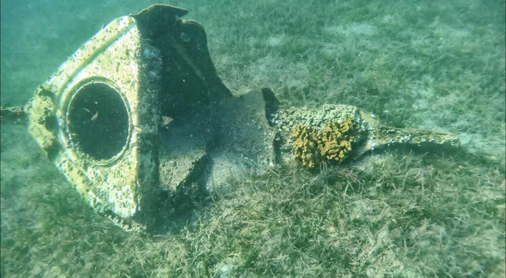
For Monaco Explorations, Cosma deployed lightweight autonomous systems to map benthic habitats and demonstrate new tools for MPA monitoring.

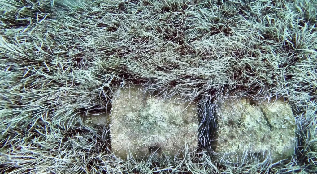
At Île du Levant, Cosma combined sonar, robotics, photogrammetry and AI to inspect a submarine outfall and map nearby Posidonia oceanica habitats at centimetre scale.

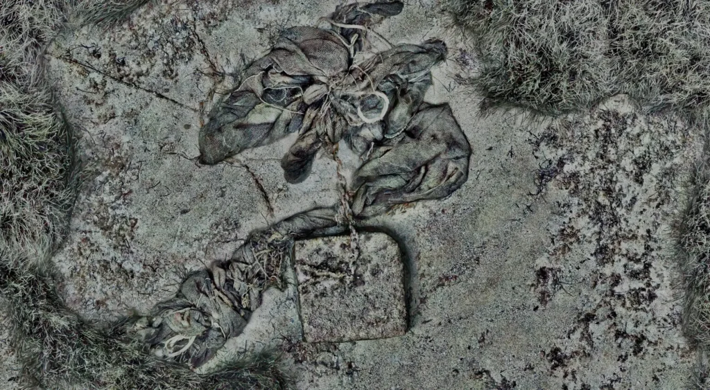
Across 33 hectares in Théoule-sur-Mer, sonar, photogrammetry and AI map submerged waste and surrounding habitats to guide responsible removal decisions.
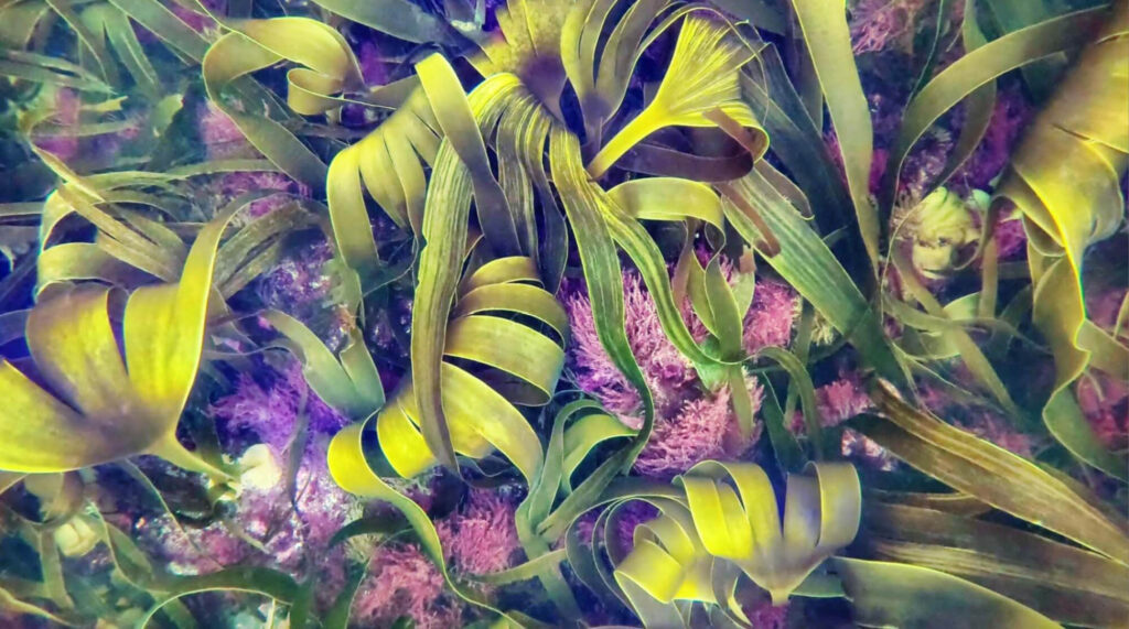
Analyze vast amounts of data to optimize kelp detection, estimate biomass, and develop metrics for assessing biodiversity in large-scale kelp restoration projects