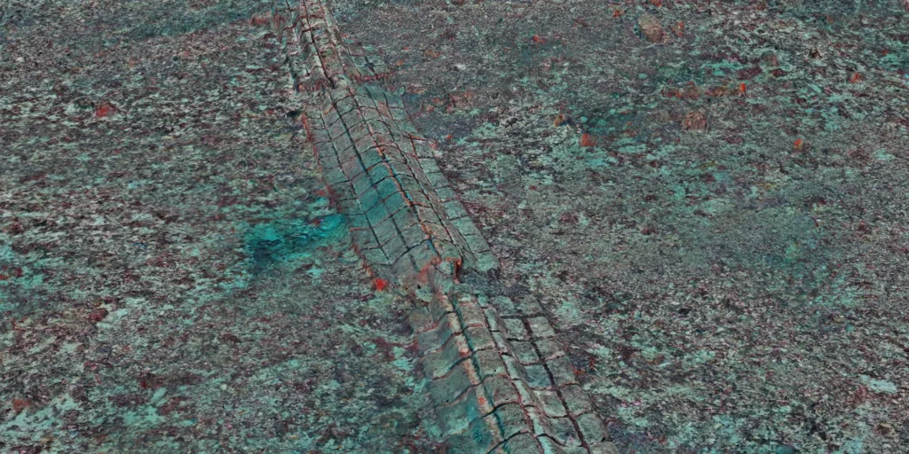
Digital baseline of Monaco’s ecological restoration site and underwater heritage
Across 2.5 hectares, a centimetre-scale record makes it possible to measure infrastructure, track ecological change and revisit the same seabed over time.


Across 2.5 hectares, a centimetre-scale record makes it possible to measure infrastructure, track ecological change and revisit the same seabed over time.
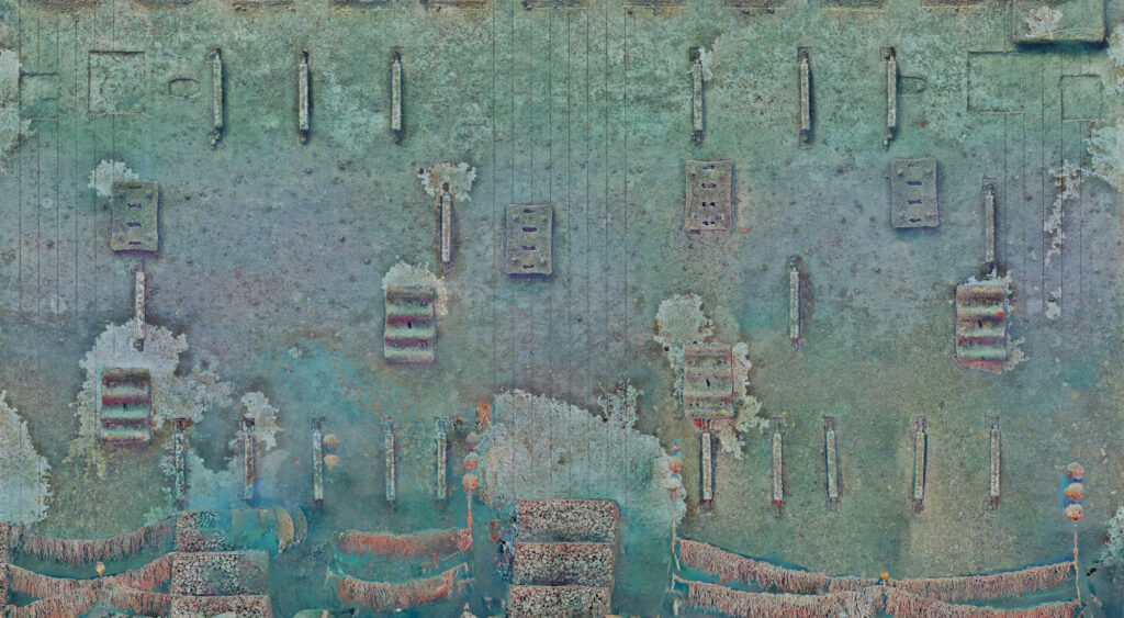
Across 2.5 hectares, centimetre-scale photogrammetry captures benthic habitats, subsea infrastructure and underwater heritage to track change over time.
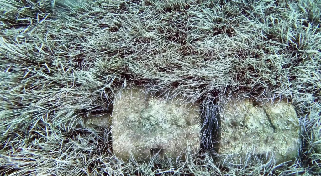
At Île du Levant, Cosma combined sonar, robotics, photogrammetry and AI to inspect a submarine outfall and map nearby Posidonia oceanica habitats at centimetre scale.

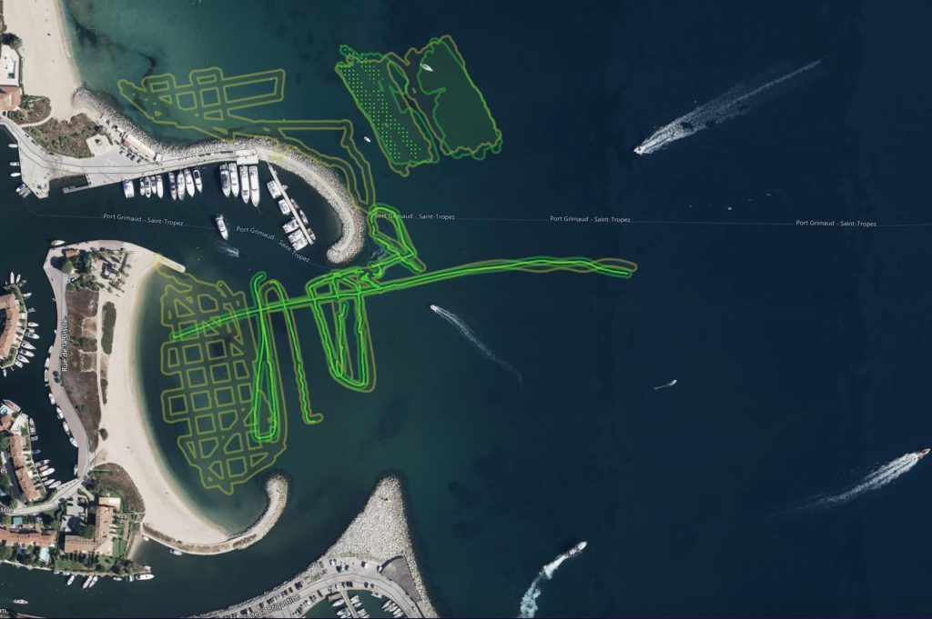
Benthic ecosystems survey report with Egis: habitat mapping, protected species localization