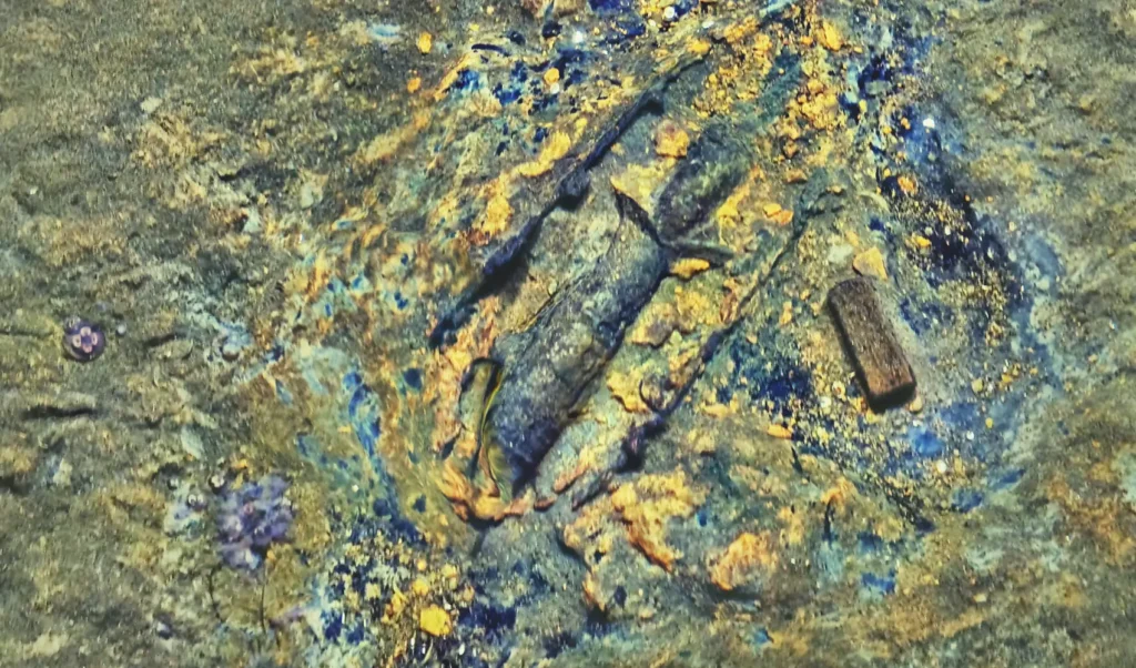
Detecting and identifying dumped munitions at 95 m in the Baltic Sea
At 95 m in the Baltic Sea, Cosma combined photogrammetry, magnetometry and side-scan sonar to detect, locate and identify dumped munitions in one AUV survey.

At 95 m in the Baltic Sea, Cosma combined photogrammetry, magnetometry and side-scan sonar to detect, locate and identify dumped munitions in one AUV survey.
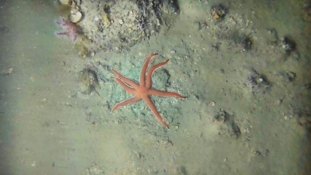
Cosma acquired 380,000 georeferenced images 10–15 nautical miles offshore, at 90–100 m depth, enabling AI-assisted detection of species of interest.

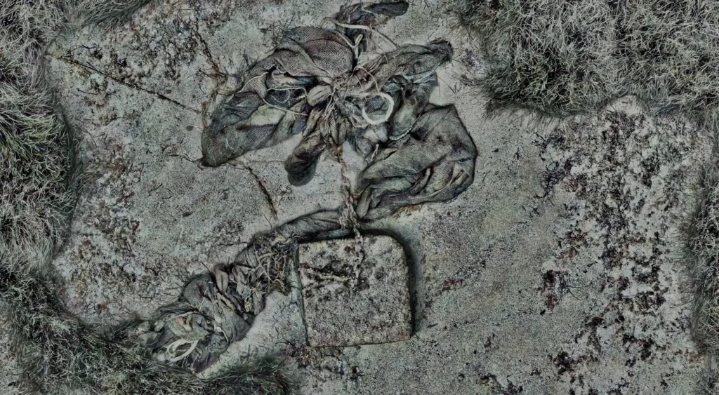
Across 33 hectares in Théoule-sur-Mer, sonar, photogrammetry and AI map submerged waste and surrounding habitats to guide responsible removal decisions.
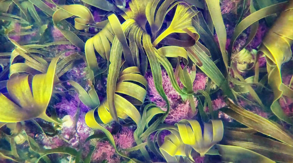
Analyze vast amounts of data to optimize kelp detection, estimate biomass, and develop metrics for assessing biodiversity in large-scale kelp restoration projects

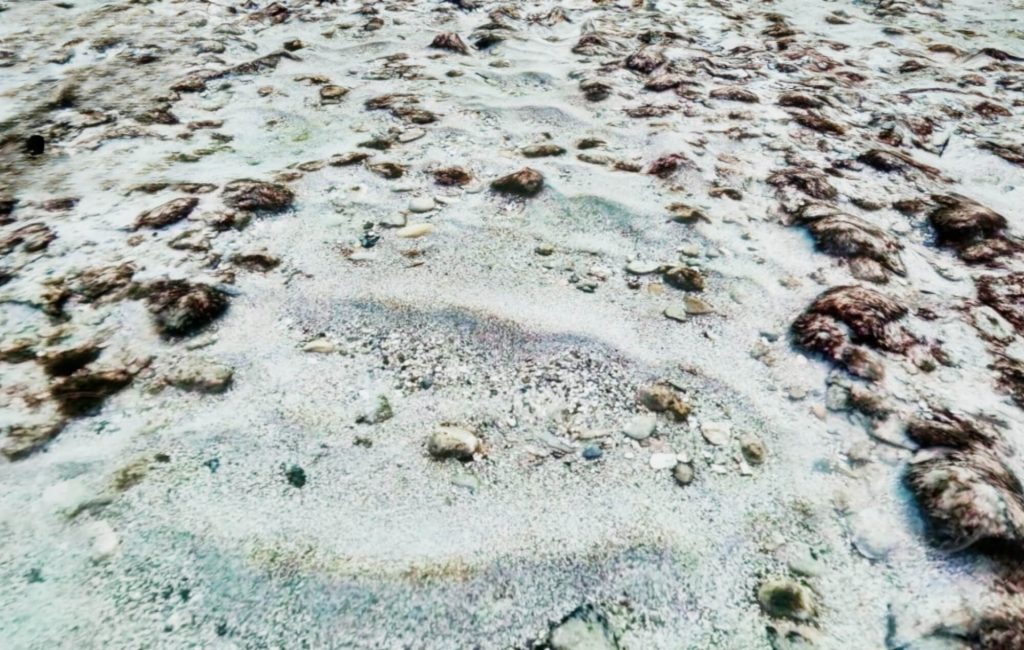
Photographic Seabed Model over a 25ha study area