cosma
subsea reality. revealed

AI-assisted mapping of underwater waste for environmentally responsible marine decommissioning

Across 33 hectares in Théoule-sur-Mer, sonar, photogrammetry and AI map submerged waste and surrounding habitats to guide responsible removal decisions.
Along the Mediterranean coastline of Théoule-sur-Mer (France), Cosma identified, mapped and characterised submerged debris to support environmentally responsible removal operations. Led by the Municipality of Théoule-sur-Mer with the support of WWF France and La Française des Jeux (FDJ), the project demonstrates how high-resolution seabed mapping and artificial intelligence can support science-based marine conservation and more sustainable underwater decommissioning decisions.
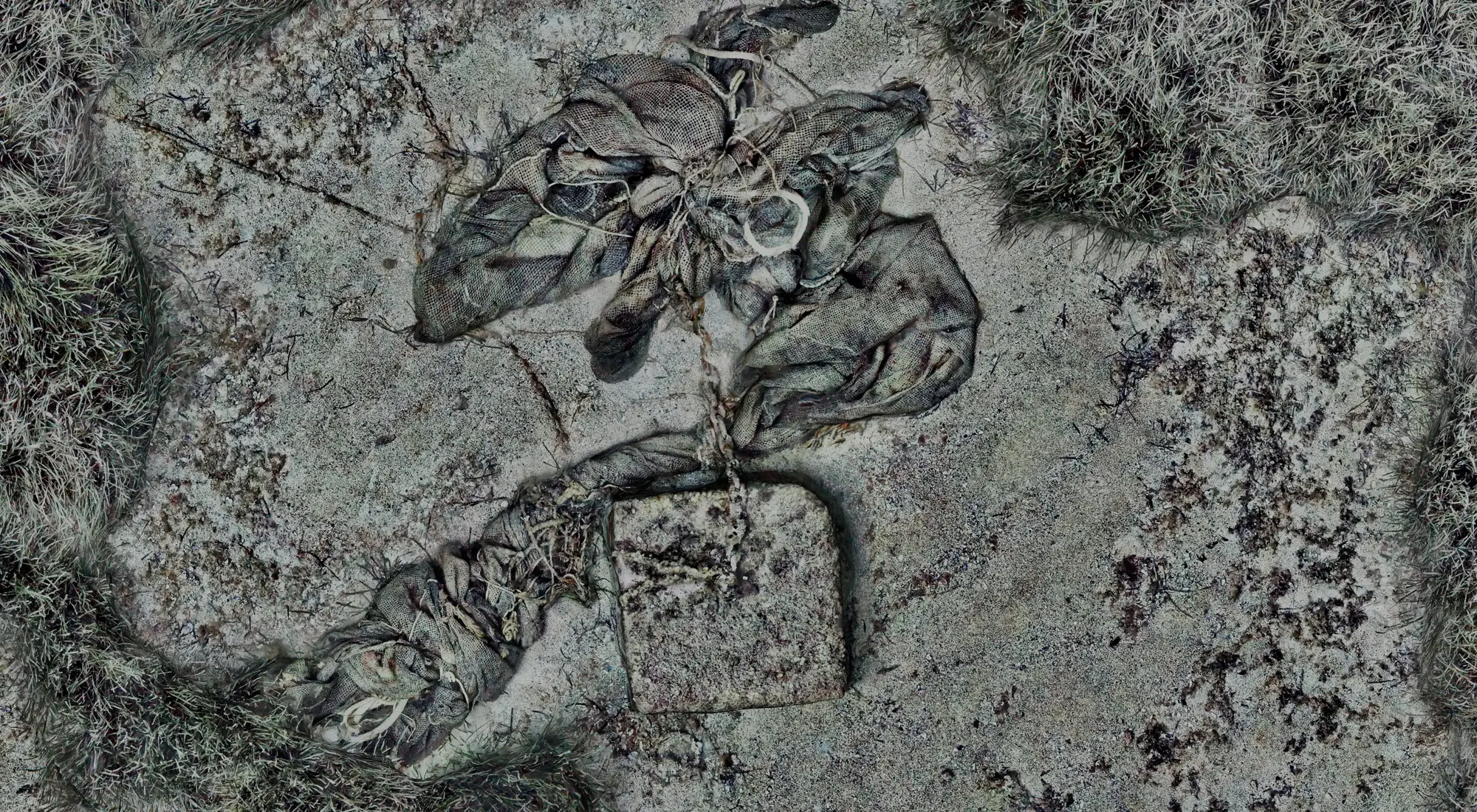
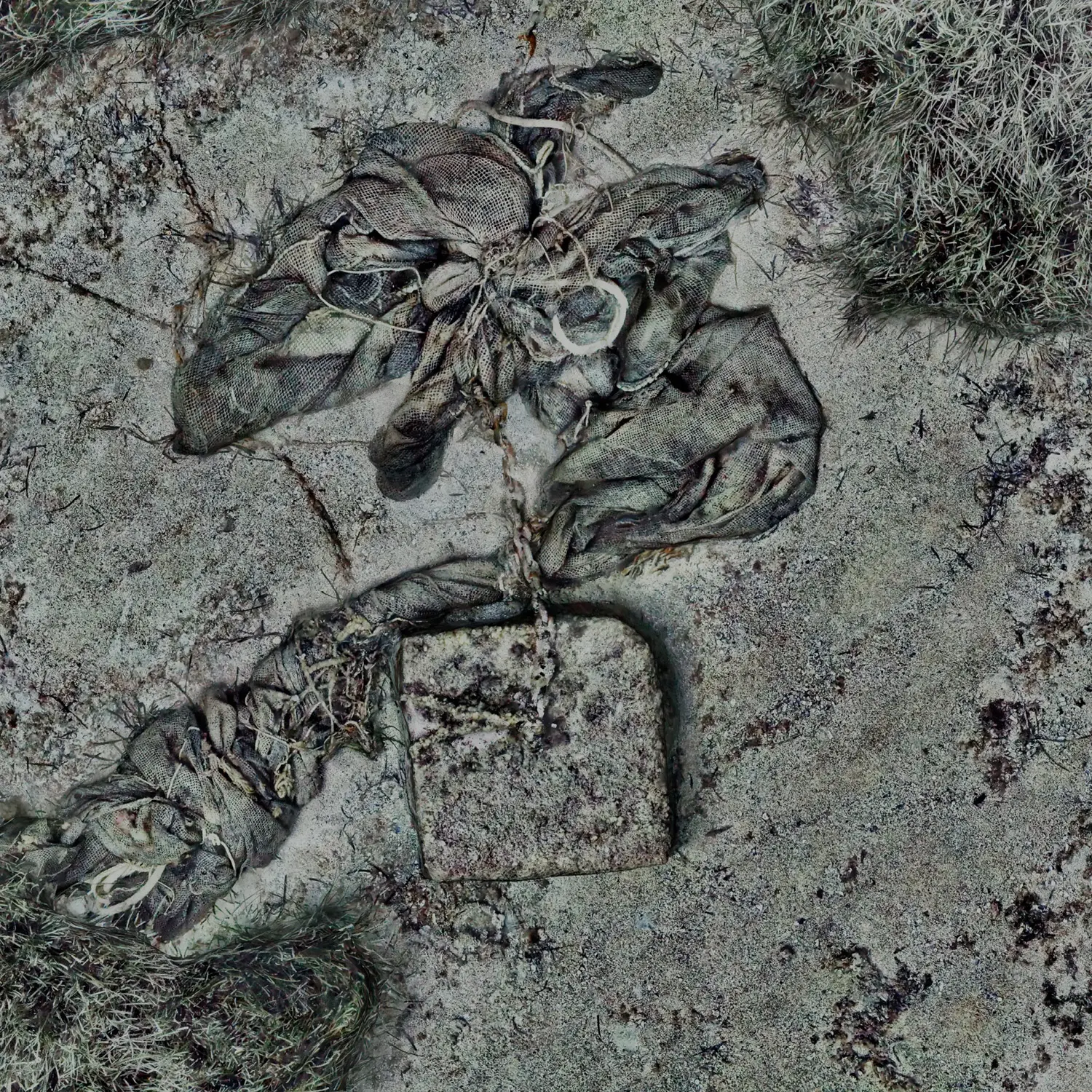
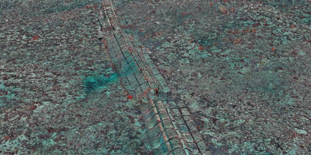
Centimetre-scale orthomosaic showing abandoned ropes and a submerged mooring block within benthic habitat in Théoule-sur-Mer.
Orthomosaic revealing submerged mooring blocks and abandoned ropes colonised by marine organisms. This level of detail enables accurate characterisation of both underwater waste and the surrounding benthic habitat.
Centimetre-scale orthomosaic showing abandoned ropes and a submerged mooring block within benthic habitat in Théoule-sur-Mer.
Orthomosaic revealing submerged mooring blocks and abandoned ropes colonised by marine organisms. This level of detail enables accurate characterisation of both underwater waste and the surrounding benthic habitat.

To support informed decision-making, Cosma identified, mapped and characterised submerged macrowaste across approximately 33 hectares of seabed in the Bay of La Figueirette. The objective was to provide local authorities with the information needed to assess the environmental context of each object and prioritise future removal operations while minimising ecological impacts.
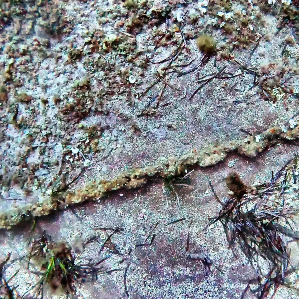
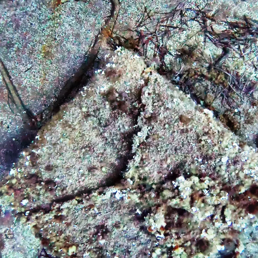
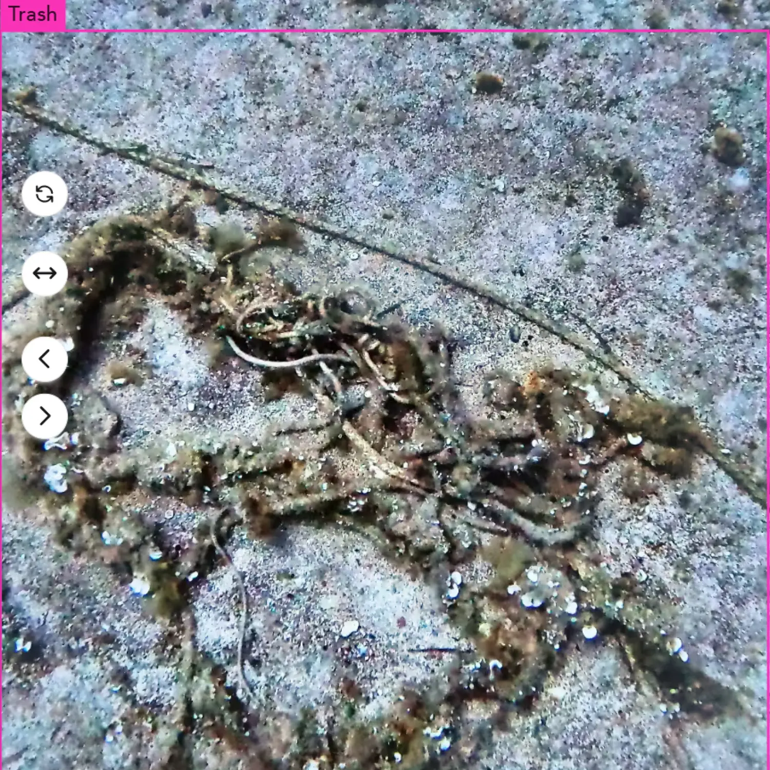
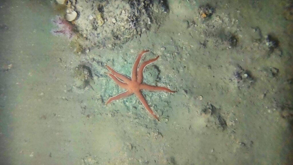
Close-up view of marine organisms colonising an abandoned underwater structure on the seabed.
Close-up underwater image of a submerged mooring block and abandoned rope colonised by marine organisms.
High-resolution imagery reveals abandoned ropes and mooring blocks colonised by marine organisms, illustrating the ecological challenge of balancing debris removal with habitat conservation and the importance of assessing the environmental value of submerged structures before any intervention.

To achieve this, Cosma combined large-scale side-scan sonar mapping with targeted centimetrescale photogrammetric surveys over two priority areas identified from the sonar data. Continuous georeferenced imagery and sonar acquisitions enabled the detection and characterisation of underwater macrowaste together with the benthic habitats and biological communities associated with it.
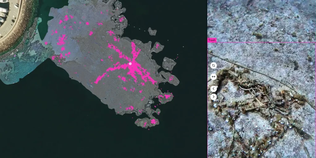
Cosma web platform showing AI-assisted detection and georeferenced imagery of underwater macrowaste in Théoule-sur-Mer.
Cosma’s web platform combines centimetre-scale imagery with AI-assisted detection to identify, locate and characterise underwater macrowaste, providing an interactive decision-support tool for future removal operations.
Cosma web platform showing AI-assisted detection and georeferenced imagery of underwater macrowaste in Théoule-sur-Mer.
Cosma’s web platform combines centimetre-scale imagery with AI-assisted detection to identify, locate and characterise underwater macrowaste, providing an interactive decision-support tool for future removal operations.

The campaign identified 52 sonar anomalies, including long-abandoned ropes extending over several tens of metres, mooring blocks and metallic debris. AI-assisted image analysis, combined with expert interpretation by marine biologists, enabled the production of detailed georeferenced inventories of submerged waste together with centimetre-scale orthomosaics and 2D and 3D digital twins of the surveyed seabed.
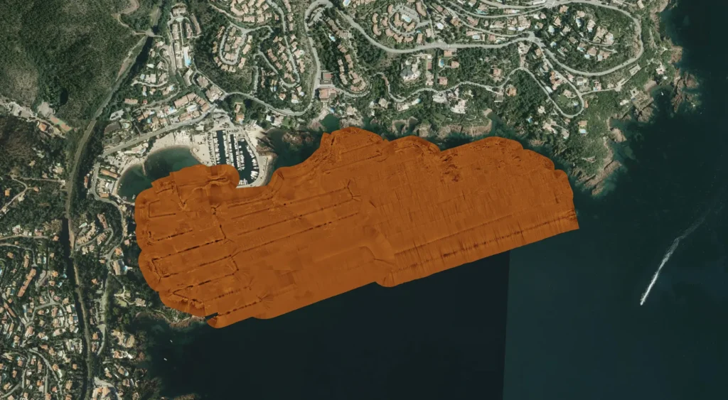
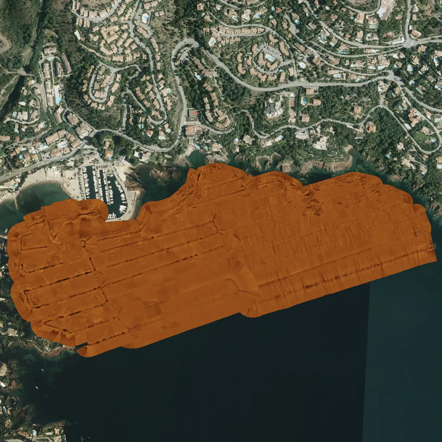
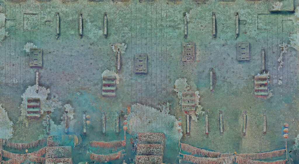
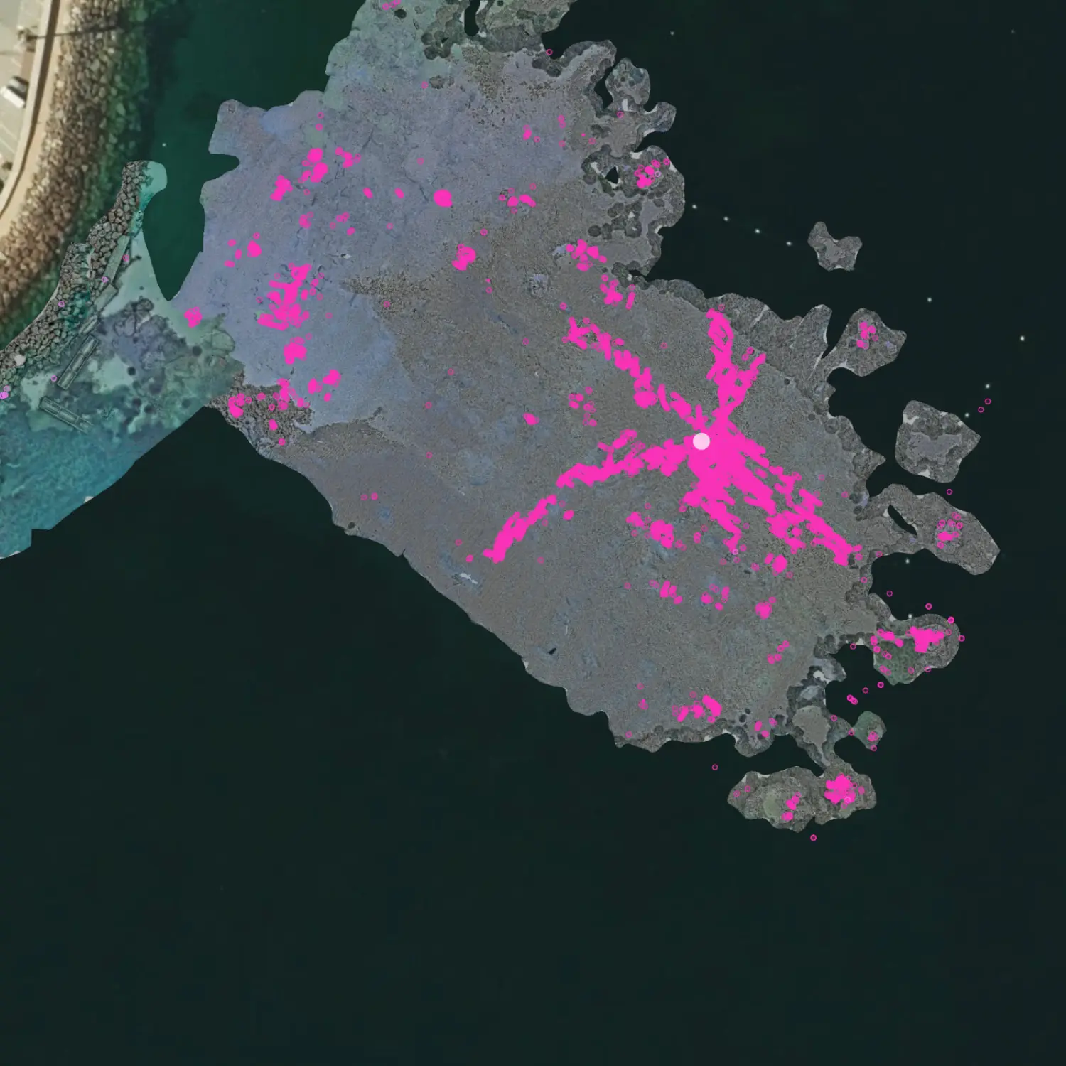
Side-scan sonar survey covering approximately 33 hectares of seabed in the Bay of La Figueirette, Théoule-sur-Mer.
Approximately 33 hectares of seabed were first surveyed using side-scan sonar to rapidly detect underwater anomalies and prioritise areas requiring detailed optical inspection.
Side-scan sonar survey covering approximately 33 hectares of seabed in the Bay of La Figueirette, Théoule-sur-Mer.
Approximately 33 hectares of seabed were first surveyed using side-scan sonar to rapidly detect underwater anomalies and prioritise areas requiring detailed optical inspection.