Detecting and identifying dumped munitions at 95 m in the Baltic Sea
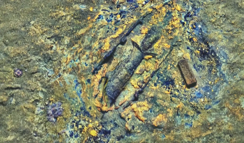
At 95 m in the Baltic Sea, Cosma combined photogrammetry, magnetometry and side-scan sonar to detect, locate and identify dumped munitions in one AUV survey.

At 95 m in the Baltic Sea, Cosma combined photogrammetry, magnetometry and side-scan sonar to detect, locate and identify dumped munitions in one AUV survey.
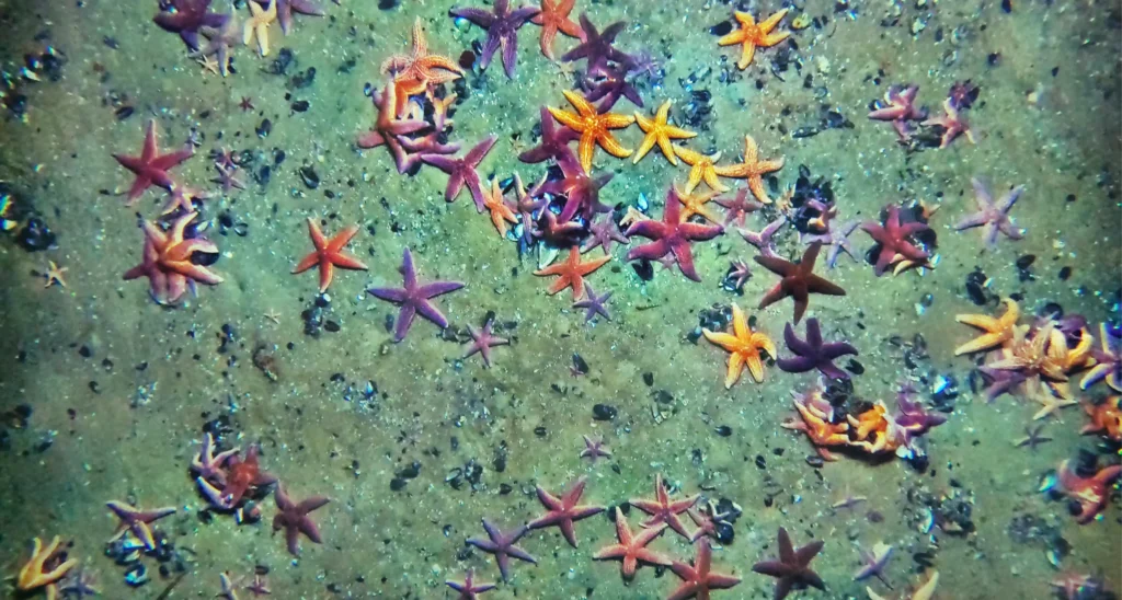
At SEM-REV, Cosma deployed three tetherless AUVs beneath FLOATGEN to map 2.6 ha of seabed, monitor biodiversity and support AI-assisted species mapping.

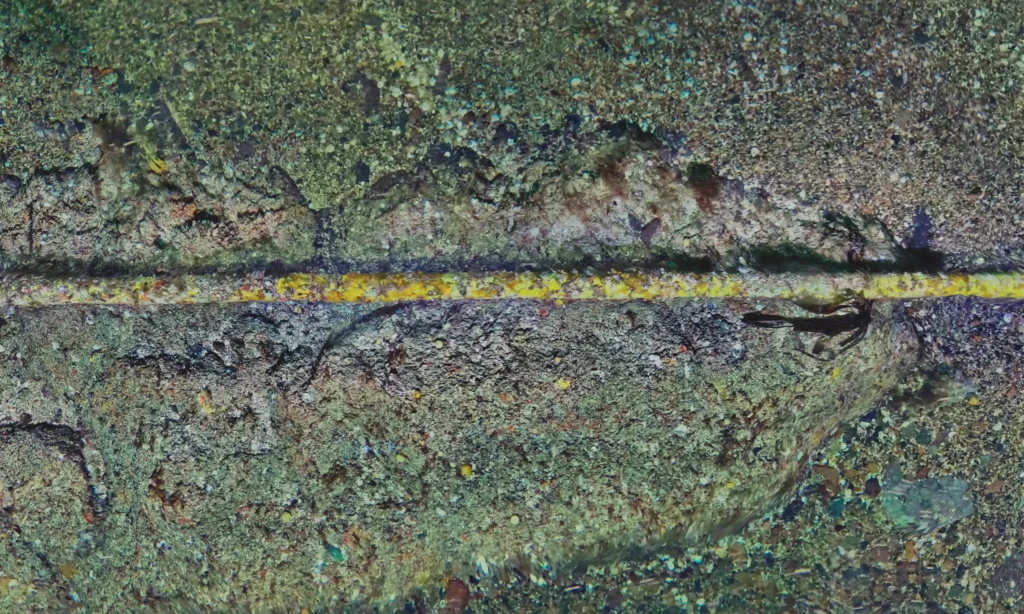
At OPEN-C Paimpol, Cosma used multiple AUVs in strong tidal currents and low visibility to map benthic habitats and support environmental permit renewal.
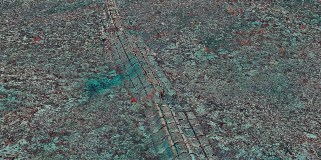
Across 2.5 hectares, a centimetre-scale record makes it possible to measure infrastructure, track ecological change and revisit the same seabed over time.
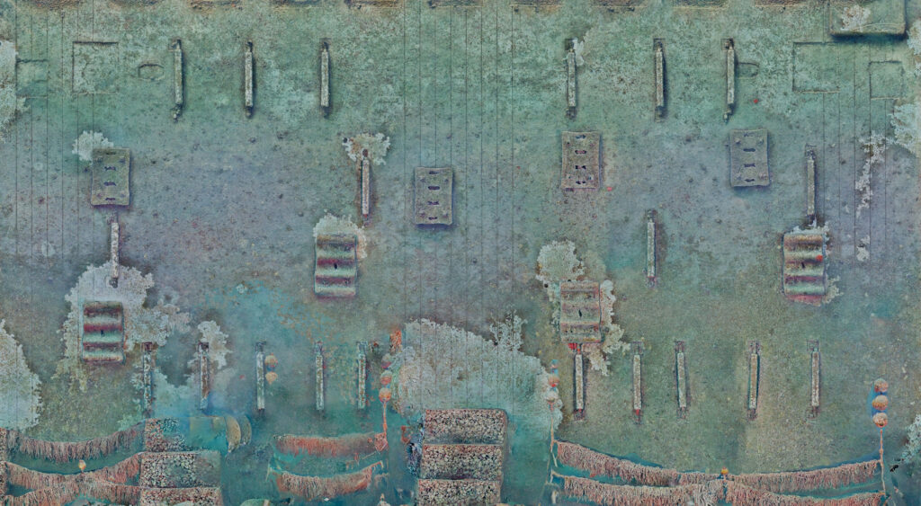
Across 2.5 hectares, centimetre-scale photogrammetry captures benthic habitats, subsea infrastructure and underwater heritage to track change over time.
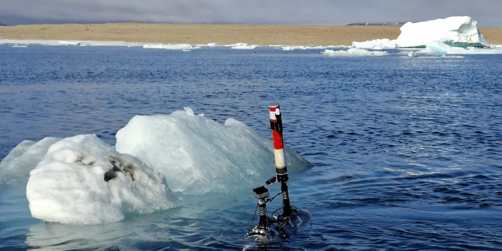
At 83°N, autonomous underwater robots captured centimetre-scale views of coastal ecosystems, creating a repeatable baseline to monitor biodiversity and ecosystem change.
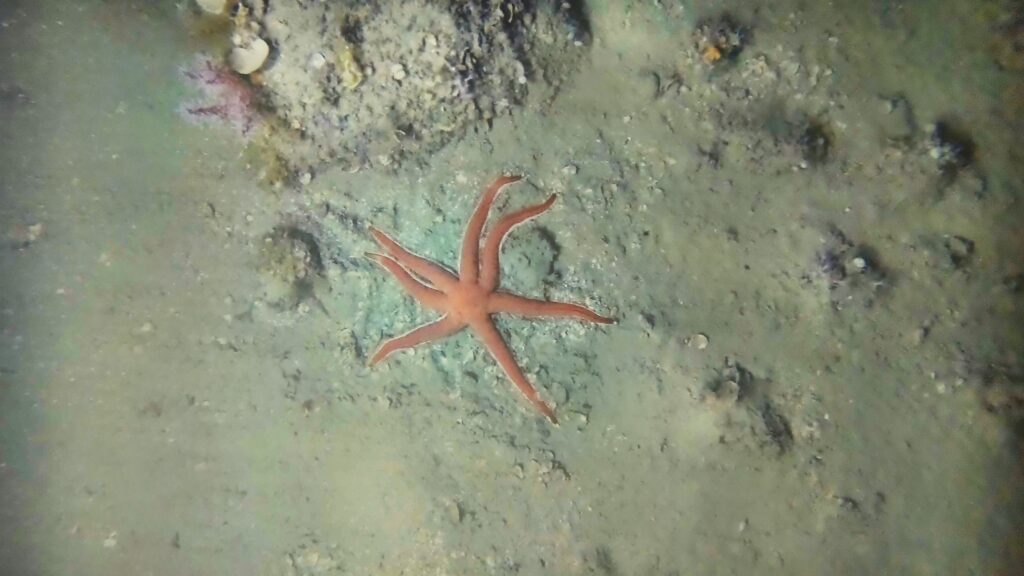
Cosma acquired 380,000 georeferenced images 10–15 nautical miles offshore, at 90–100 m depth, enabling AI-assisted detection of species of interest.

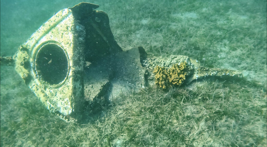
For Monaco Explorations, Cosma deployed lightweight autonomous systems to map benthic habitats and demonstrate new tools for MPA monitoring.

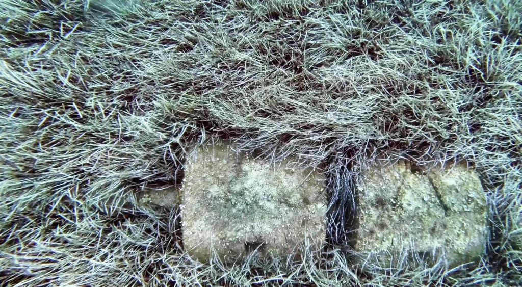
At Île du Levant, Cosma combined sonar, robotics, photogrammetry and AI to inspect a submarine outfall and map nearby Posidonia oceanica habitats at centimetre scale.

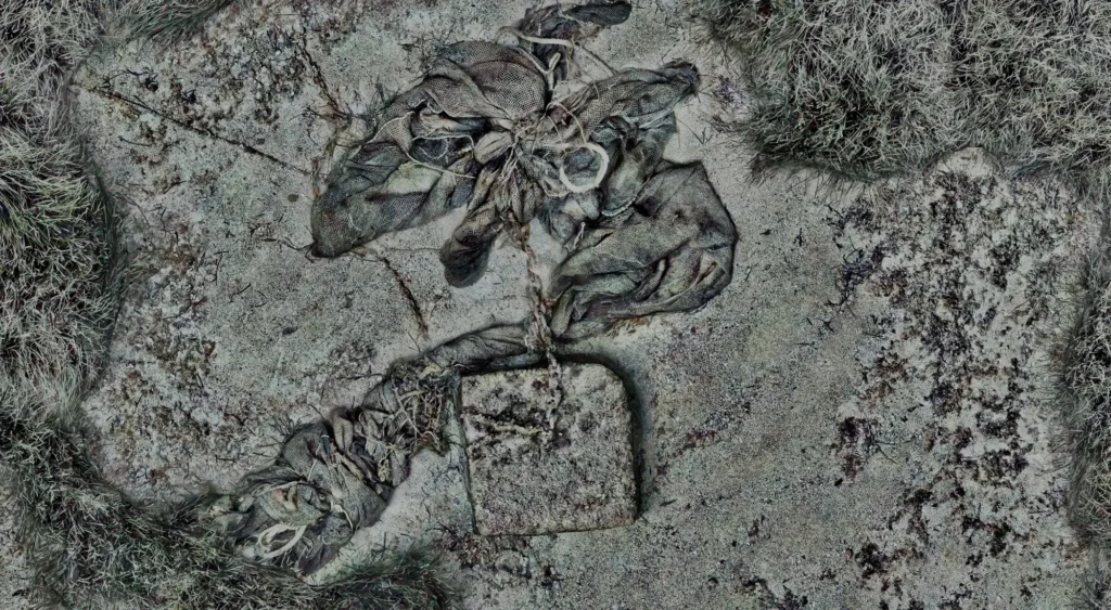
Across 33 hectares in Théoule-sur-Mer, sonar, photogrammetry and AI map submerged waste and surrounding habitats to guide responsible removal decisions.